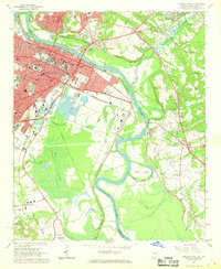
1965 Map of Augusta East
USGS Topo · Published 1968About this map
Augusta and North Augusta stand divided by the Savannah River in this mid-1960s survey, illustrating a dense urban core transitioning into industrial and marshland zones. The Georgia side is dominated by a complex infrastructure including Union Station, the University of Georgia (Medical College), and the expansive Magnolia Cemetery. The river corridor itself reveals a history of commerce and transit, with the Southern Railway and Georgia and Florida Railroad crossing the state line near the historic settlement of Hamburg.
Find a feature on this map
62 named features on this map. Tap any name to fly to it.
Don’t see what you’re looking for? This feature index may not catch every label — zoom into the map to look around manually.
Map Details
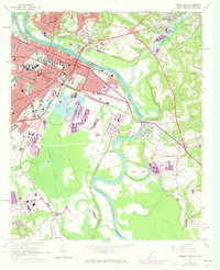
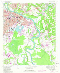
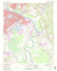
Editions of this 1965 Augusta East Map
4 editions found
Other maps of this area

1892 · Mc Cormick
USGS Topo · 1:125,000

1912 · Mc Cormick
USGS Topo · 1:125,000

1920 · Clarks Hill
USGS Topo · 1:48,000

1921 · Augusta
USGS Topo · 1:62,500

1921 · Clarks Hill
USGS Topo · 1:62,500

1922 · Hephzibah
USGS Topo · 1:62,500

1923 · Warrenville
USGS Topo · 1:48,000

1928 · Warrenville
USGS Topo · 1:62,500

1941 · Clarks Hill
USGS Topo · 1:62,500

1942 · Clarks Hill
USGS Topo · 1:62,500