Loading...
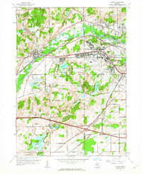
Loading map...1961 Map of Augusta
USGS Topo · Published 1962About this map
The Fort Custer Military Reservation dominates this 1961 landscape between the Kalamazoo River and the expanding suburbs of Battle Creek. This post-war period shows a dense concentration of medical and military infrastructure, including the Veterans Administration Hospital and the American Legion Hospital, alongside the Kellogg Airport and Custer Air Force Station. These facilities transformed the region from its agrarian roots, though pockets of older rural life persist in the form of the Martin Sch and North Cem.
Find a feature on this map
39 named features on this map. Tap any name to fly to it.
Don’t see what you’re looking for? This feature index may not catch every label — zoom into the map to look around manually.
Map Details
Date Portrayed1961
Date Published1962
PublisherU.S. Geological Survey
Map TypeTopographic
Scale1:24000
Physical Dimensions21.9 x 26.8 inches
Editions of this 1961 Augusta Map
5 editions found
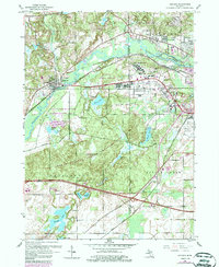
Historical Maps of Battle Creek Through Time
4 maps found

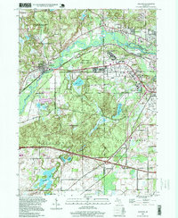
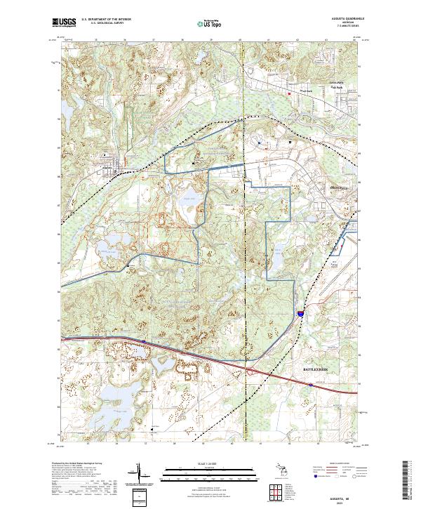
Featured Locations
- Charleston Township, MI
- Springfield, MI
- Battle Creek, MI
- Oak Park, Bedford Charter Township
- Augusta, Ross Township
Source Details
SourceU.S. Geological Survey
CopyrightPublic Domain