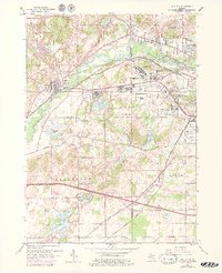
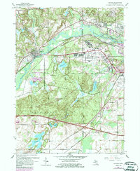
1961 Map of Augusta
USGS Topo · Published 1979About this map
The Kalamazoo River and Battle Creek River converge in this mid-century portrait of south-central Michigan, where heavy infrastructure and military land use define the landscape. Large tracts of land are dedicated to public service and defense, notably Fort Custer State Park and the sprawling Veterans Administration Hospital complex. Transportation corridors like the Penn Central and Grand Trunk Western railroads intersect near the village of Augusta, facilitating the region's industrial and residential growth.
Find a feature on this map
45 named features on this map. Tap any name to fly to it.
Don’t see what you’re looking for? This feature index may not catch every label — zoom into the map to look around manually.
Map Details
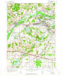
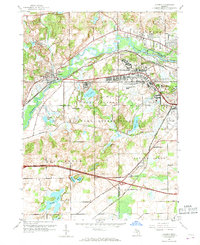
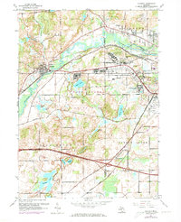
Editions of this 1961 Augusta Map
5 editions found
Other maps of this area

1918 · Battle Creek
USGS Topo · 1:62,500

1918 · Union City
USGS Topo · 1:62,500

1918 · Galesburg
USGS Topo · 1:62,500

1918 · Leonidas
USGS Topo · 1:62,500

1943 · Battle Creek
USGS Topo · 1:62,500

1944 · Leonidas
USGS Topo · 1:62,500

1944 · Galesburg
USGS Topo · 1:62,500

1947 · Augusta
USGS Topo · 1:24,000

1947 · Delton
USGS Topo · 1:24,000

1947 · Galesburg
USGS Topo · 1:24,000