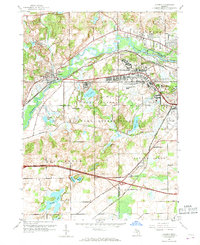
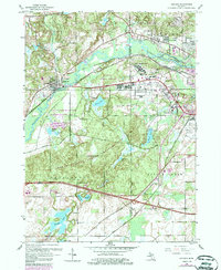
1961 Map of Augusta
USGS Topo · Published 1968About this map
The Fort Custer Military Reservation dominates the center of this landscape, reflecting the significant mid-century military presence between Augusta and the western edge of Battle Creek. This military footprint is complemented by large-scale institutional developments, including the Veterans Administration Hospital and the Custer Air Force Station. The confluence of the Kalamazoo River and the Battle Creek River creates a watery corridor that supports both transportation and recreation, while the New York Central Railroad parallels the river valley.
Find a feature on this map
40 named features on this map. Tap any name to fly to it.
Don’t see what you’re looking for? This feature index may not catch every label — zoom into the map to look around manually.
Map Details
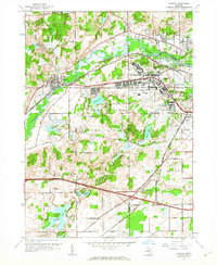
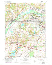
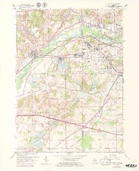
Editions of this 1961 Augusta Map
5 editions found
Other maps of this area

1918 · Battle Creek
USGS Topo · 1:62,500

1918 · Union City
USGS Topo · 1:62,500

1918 · Galesburg
USGS Topo · 1:62,500

1918 · Leonidas
USGS Topo · 1:62,500

1943 · Battle Creek
USGS Topo · 1:62,500

1944 · Leonidas
USGS Topo · 1:62,500

1944 · Galesburg
USGS Topo · 1:62,500

1947 · Augusta
USGS Topo · 1:24,000

1947 · Delton
USGS Topo · 1:24,000

1947 · Galesburg
USGS Topo · 1:24,000