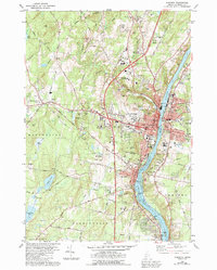
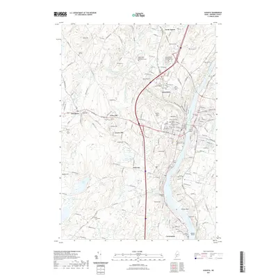
1980 Map of Augusta
USGS Topo · Published 1980About this map
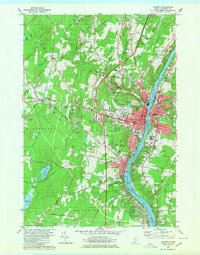
The State Capitol and Capitol Park anchor the western bank of the Kennebec River in this 1980 survey of Maine's capital. This era shows the city as a regional hub of governance and education, with the University of Maine at Augusta established to the north and the Augusta State Airport serving the central corridor. The industrial and transit heritage is visible via the Maine Central railroad lines and several tidal flats along the river's bend toward Hallowell.
Find a feature on this map
104 named features on this map. Tap any name to fly to it.
Don’t see what you’re looking for? This feature index may not catch every label — zoom into the map to look around manually.
Map Details
Editions of this 1980 Augusta Map
2 editions found
Historical Maps of Augusta Through Time
11 maps found
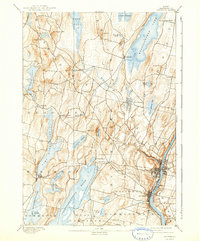
1892 Augusta
Kennebec County, ME

1941 Augusta
Kennebec County, ME
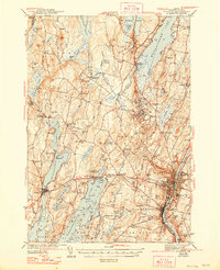
1943 Augusta
Kennebec County, ME
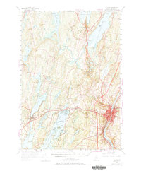
1956 Augusta
Kennebec County, ME
1980 Augusta
Kennebec County, ME

1984 Augusta
Kennebec County, ME
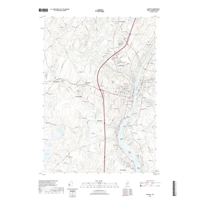
2011 Augusta
Kennebec County, ME
2014 Augusta
Kennebec County, ME
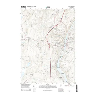
2018 Augusta
Kennebec County, ME
2021 Augusta
Kennebec County, ME
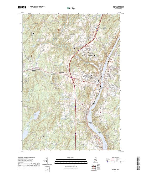
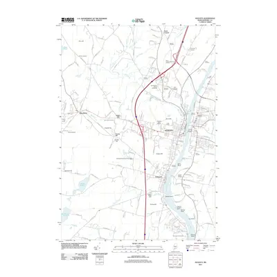
2024 Augusta
Kennebec County, ME