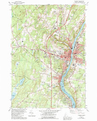
1980 Map of Augusta
USGS Topo · Published 1992About this map
The Kennebec River corridor defines this landscape, flowing past the State Capitol and the municipal centers of Augusta and Hallowell. During this era of growth, the Maine Central railroad remains a prominent fixture along the river's west bank, while the Augusta State Airport sits atop the plateau near Bond Brook. The map reveals a dense network of civic and educational infrastructure, from the University of Maine at Augusta in the north to Hall-Dale High Sch in the south.
Find a feature on this map
125 named features on this map. Tap any name to fly to it.
Don’t see what you’re looking for? This feature index may not catch every label — zoom into the map to look around manually.
Map Details
Editions of this 1980 Augusta Map
2 editions found
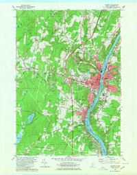
Other maps of this area

1892 · Gardiner
USGS Topo · 1:62,500

1892 · Augusta
USGS Topo · 1:62,500

1893 · Vassalboro
USGS Topo · 1:62,500

1893 · Wiscasset
USGS Topo · 1:62,500

1898 · Vassalboro
USGS Topo · 1:62,500

1941 · Vassalboro
USGS Topo · 1:62,500

1941 · Augusta
USGS Topo · 1:62,500

1943 · Augusta
USGS Topo · 1:62,500

1943 · Gardiner
USGS Topo · 1:62,500

1943 · Vassalboro
USGS Topo · 1:62,500