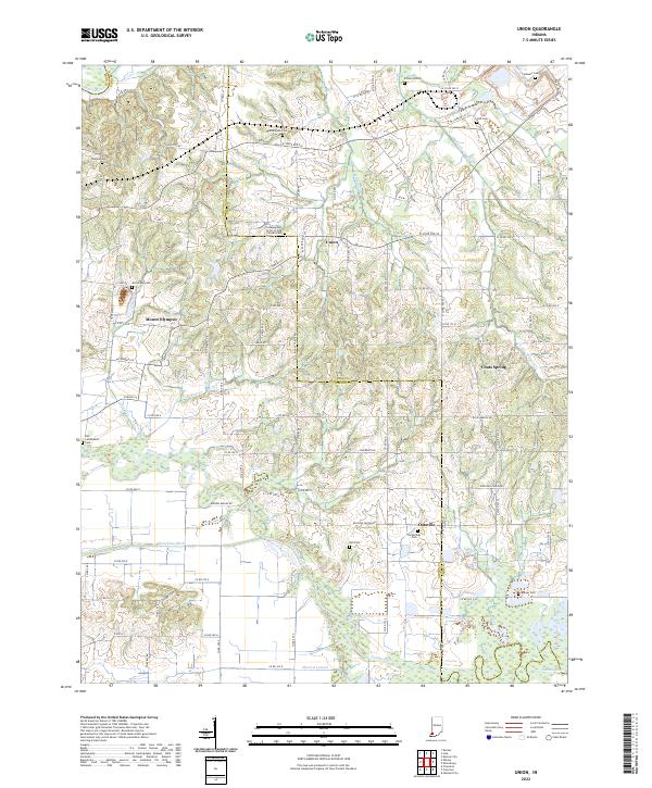
2022 Map of Augusta
USGS Topo · Published 2022About this map
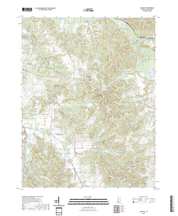
The Patoka River and its various tributaries, including the South Fork Patoka River and Clifford Cr, dominate the drainage of this Pike County landscape. Small rural settlements like Augusta and Stendal are connected by a network of local roads and trails, such as the Augusta Stendal Rd. The presence of Hoskins Pits in the southwest suggests local industrial activity, while the numerous small burial grounds, including Augusta Cem, Corn Cem, and Barret Cem, provide essential data points for genealogical research. Recreational paths like the Pike Forest Horse Trl and Hog Branch Trail Trl indicate the integration of public forest lands with the surrounding agricultural and residential areas. The map clearly defines historical township and range boundaries, such as t2s r7w, offering a precise spatial framework for land ownership studies.
Find a feature on this map
74 named features on this map. Tap any name to fly to it.
Don’t see what you’re looking for? This feature index may not catch every label — zoom into the map to look around manually.
Map Details
Editions of this 2022 Augusta Map
This is the sole edition of this map. No revisions or reprints were ever made.
Historical Maps of Fritz Corner Through Time
5 maps found