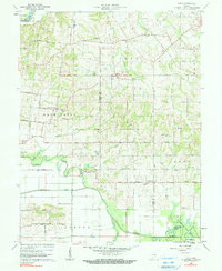
1961 Map of Union
USGS Topo · Published 1990About this map
The Patoka River snakes through the southern half of this landscape, its path shadowed by the Yellow Creek and the straight lines of Houchins Ditch. This 1960s survey documents a rural corridor on the borders of Knox, Gibson, and Pike Counties, centered on the settlement of Union and the high ground of Mount Olympus. The terrain is marked by a network of local roads such as Dead Level Road and Cutoff Road, reflecting a landscape defined by small-scale farming and the emergence of an Oil Field near the riverbanks.
Find a feature on this map
65 named features on this map. Tap any name to fly to it.
Don’t see what you’re looking for? This feature index may not catch every label — zoom into the map to look around manually.
Map Details
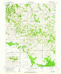
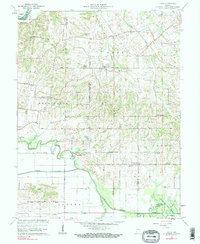
Editions of this 1961 Union Map
3 editions found
Other maps of this area

1901 · Princeton
USGS Topo · 1:62,500

1902 · Ditney
USGS Topo · 1:125,000

1903 · Petersburg
USGS Topo · 1:62,500

1903 · Princeton
USGS Topo · 1:62,500

1903 · Patoka
USGS Topo · 1:125,000

1915 · Vincennes
USGS Topo · 1:62,500

1944 · Monroe City
USGS Topo · 1:24,000

1944 · Iona
USGS Topo · 1:24,000

1944 · Vincennes
USGS Topo · 1:62,500

1956 · Vincennes
USGS Topo · 1:250,000