
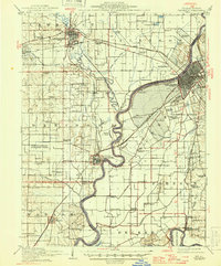
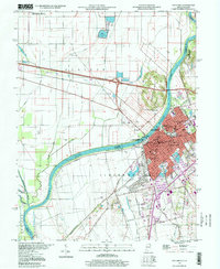
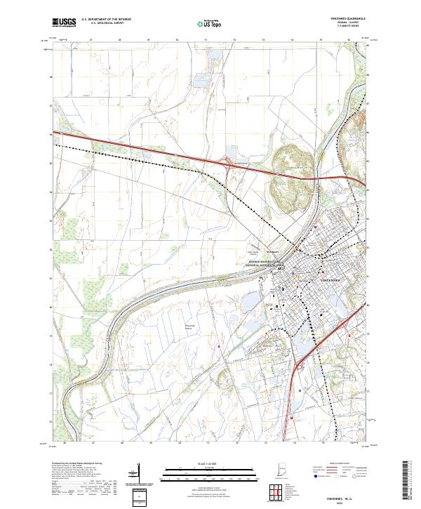
1944 Map of Vincennes
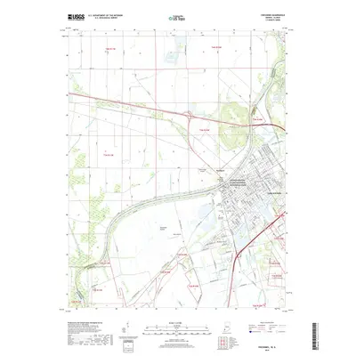
USGS Topo · Published 1958About this map
The Wabash River carves a winding path through this mid-century landscape, serving as the natural boundary between Illinois and Indiana. On the Indiana side, the historic hub of Vincennes and the Vincennes Common anchor the region, while Lawrenceville and St Francisville stand as prominent settlements on the Illinois banks. The era’s aviation and military footprint is evident at George Field and the Presbyterian Auxiliary Field, both located in Lawrence County.
Find a feature on this map
89 named features on this map. Tap any name to fly to it.
Don’t see what you’re looking for? This feature index may not catch every label — zoom into the map to look around manually.
Map Details
Editions of this 1944 Vincennes Map
This is the sole edition of this map. No revisions or reprints were ever made.
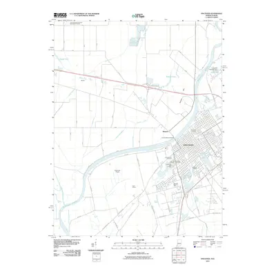
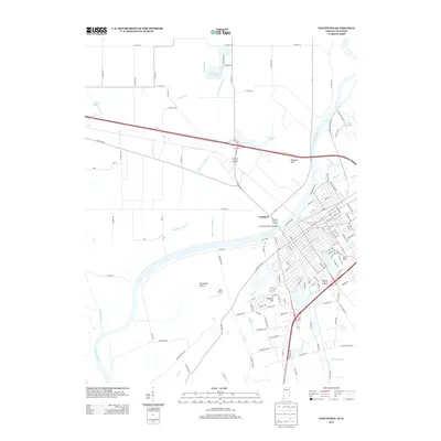
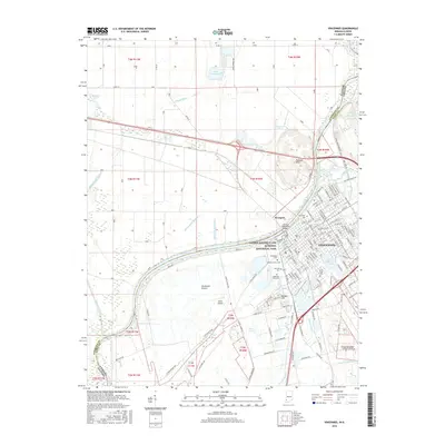
Historical Maps of Vincennes Through Time
13 maps found
1915 Vincennes
Knox County, IN
1944 Vincennes
Knox County, IN
1956 Vincennes
Knox County, IN

1957 Vincennes
Knox County, IN

1958 Vincennes
Knox County, IN
1965 Vincennes
Knox County, IN
1986 Vincennes
Knox County, IN
1998 Vincennes
Knox County, IN
2010 Vincennes
Knox County, IN
2013 Vincennes
Knox County, IN
2016 Vincennes
Knox County, IN
2019 Vincennes
Knox County, IN
2022 Vincennes
Knox County, IN