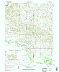
1961 Map of Union
USGS Topo · Published 1990About this map
Union and Mount Olympus anchor the high ground of northern Gibson County in this early 1960s survey, illustrating a rural landscape defined by family legacies and early extraction industries. The terrain is marked by numerous country burial grounds, including the I O O F Cem, Catt Cem, and Frederick Cem, often positioned near local landmarks like Little Zion Ch and New Butler Chapel. In the south, the Patoka River meanders through bottomlands where Wheeling and Oatsville sit near the extensive Houchins Ditch network. This era shows the local economy transitioning, with an Oil Field established south of the river and the Pike County State Forest preserving timberland at the eastern boundary. The map provides a detailed view of these communities before modern landscape changes, documenting family names at sites like Miller Sch Cem and Kirk Cem.
Find a feature on this map
63 named features on this map. Tap any name to fly to it.
Don’t see what you’re looking for? This feature index may not catch every label — zoom into the map to look around manually.
Map Details
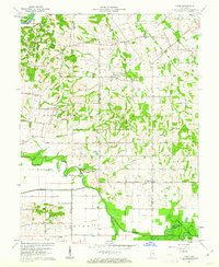
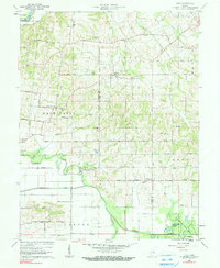
Editions of this 1961 Union Map
3 editions found
Other maps of this area

1901 · Princeton
USGS Topo · 1:62,500

1902 · Ditney
USGS Topo · 1:125,000

1903 · Petersburg
USGS Topo · 1:62,500

1903 · Princeton
USGS Topo · 1:62,500

1903 · Patoka
USGS Topo · 1:125,000

1915 · Vincennes
USGS Topo · 1:62,500

1944 · Monroe City
USGS Topo · 1:24,000

1944 · Iona
USGS Topo · 1:24,000

1944 · Vincennes
USGS Topo · 1:62,500

1956 · Vincennes
USGS Topo · 1:250,000