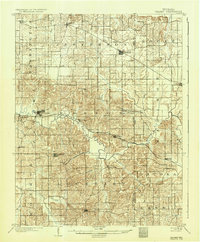
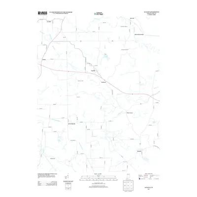
1903 Map of Velpen
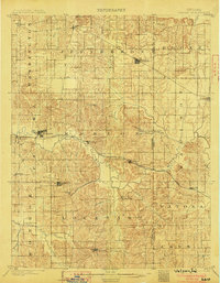
USGS Topo · Published 1936About this map
The Patoka River snakes through a landscape defined by small agricultural hamlets and the expansion of the Southern Ry at the turn of the twentieth century. While larger hubs like Winslow and Otwell show emerging street grids, the map captures numerous smaller nodes such as Ayrshire, Stendal, and Pikeville that served as local centers for the surrounding townships. The convergence of rail and river is most evident at Hartwell Junc. and Velpen, where the railroad follows the valley floor.
Find a feature on this map
41 named features on this map. Tap any name to fly to it.
Don’t see what you’re looking for? This feature index may not catch every label — zoom into the map to look around manually.
Map Details
Editions of this 1903 Velpen Map
2 editions found
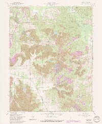
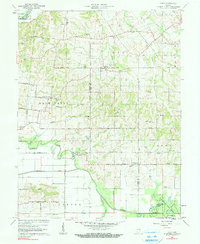
Historical Maps of Winslow Through Time
13 maps found
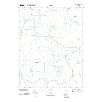
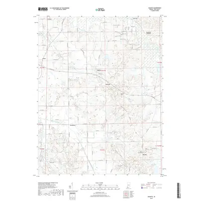
1903 Velpen
Pike County, IN
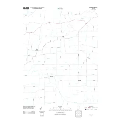
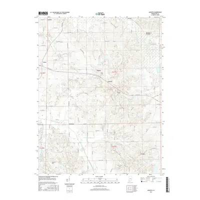
1961 Augusta
Pike County, IN
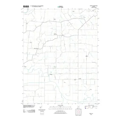
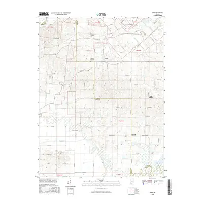
1961 Union
Pike County, IN
2010 Augusta
Pike County, IN
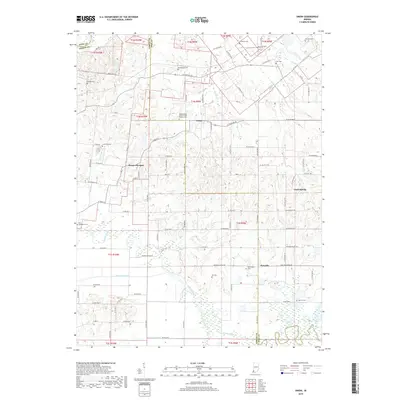
2010 Union
Pike County, IN
2013 Augusta
Pike County, IN
2013 Union
Pike County, IN
2016 Augusta
Pike County, IN
2016 Union
Pike County, IN
2019 Augusta
Pike County, IN
2019 Union
Pike County, IN
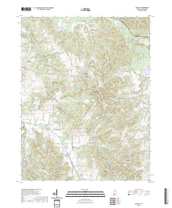
2022 Augusta
Pike County, IN
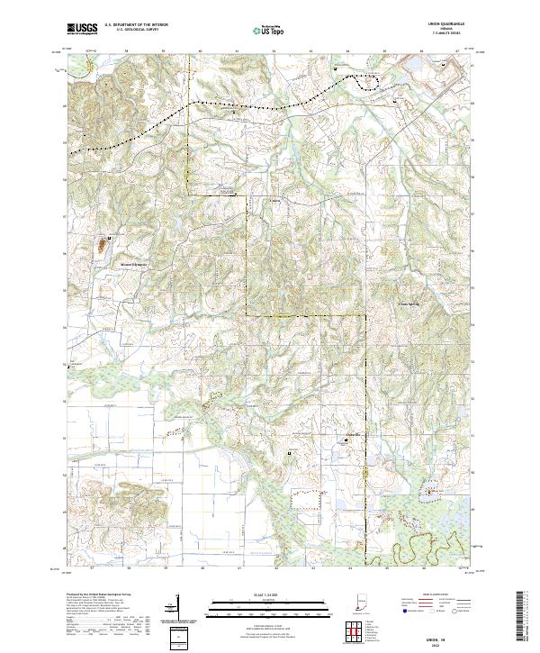
2022 Union
Pike County, IN