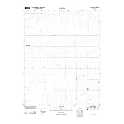
2009 Map of Augusta SE
USGS Topo · Published 2009About this map
Bloomington and Pine Grove anchor the landscape of southeastern Butler County in the early 21st century, a region defined by agricultural grids and a legacy of energy extraction. The map reveals the persistent footprint of the local oil industry through the Snowden-Mc Sweeney Oil Field, Fox-Bush Oil Field, and Steinhoff Oil Field, which coexist with the drainage basins of Muddy Creek and Hickory Creek.
Find a feature on this map
28 named features on this map. Tap any name to fly to it.
Don’t see what you’re looking for? This feature index may not catch every label — zoom into the map to look around manually.
Map Details
Editions of this 2009 Augusta SE Map
This is the sole edition of this map. No revisions or reprints were ever made.
Other maps of this area

1888 · Eldorado
USGS Topo · 1:125,000

1889 · Burden
USGS Topo · 1:125,000

1955 · Wichita
USGS Topo · 1:250,000

1958 · Wichita
USGS Topo · 1:250,000

1961 · Augusta
USGS Topo · 1:24,000

1961 · Gordon
USGS Topo · 1:24,000

1963 · Leon
USGS Topo · 1:24,000

1964 · Augusta SE
USGS Topo · 1:24,000

1964 · Latham
USGS Topo · 1:24,000

1964 · Cambridge NW
USGS Topo · 1:24,000