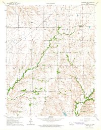
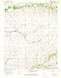
1964 Map of Cambridge NW
USGS Topo · Published 1965About this map
The Old Indian Treaty Boundary bisects the northern reaches of this rural landscape, marking a legacy of territorial division between Butler and Cowley counties. In the mid-1960s, this area of Kansas was defined by its cattle ranching and early petroleum extraction, evidenced by the Grouse Creek Oil Field and the Box Oil Field to the west. The St Louis and San Francisco railroad provides the primary industrial spine, passing through the settlement of Wingate. Local community life centers on the Timber Creek Ch and several small burial grounds, including Timber Creek Cem and Mt Vernon Cem. The terrain is deeply etched by the drainage of Timber Creek and Grouse Creek, where wooded banks contrast with the open upland pastures of Omnia and Harvey townships.
Find a feature on this map
20 named features on this map. Tap any name to fly to it.
Don’t see what you’re looking for? This feature index may not catch every label — zoom into the map to look around manually.
Map Details
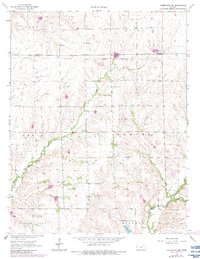
Editions of this 1964 Cambridge NW Map
2 editions found
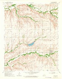
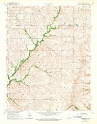
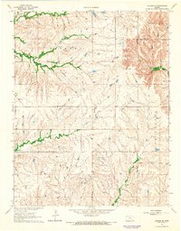
Other maps of this area

1888 · Eldorado
USGS Topo · 1:125,000

1889 · Burden
USGS Topo · 1:125,000

1955 · Wichita
USGS Topo · 1:250,000

1958 · Wichita
USGS Topo · 1:250,000
1962 · Grand Summit
USGS Topo · 1:24,000
1962 · Cambridge
USGS Topo · 1:24,000
1964 · Augusta SE
USGS Topo · 1:24,000
1964 · Latham
USGS Topo · 1:24,000
1964 · Cambridge NE
USGS Topo · 1:24,000
1964 · Latham SE
USGS Topo · 1:24,000