1962 Map of Cambridge
USGS Topo · Published 1963About this map
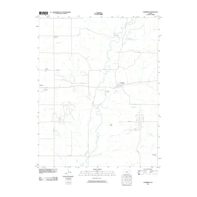
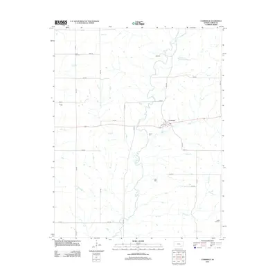
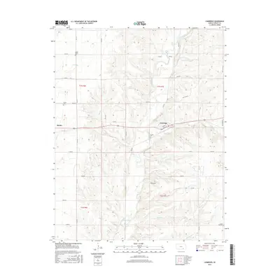
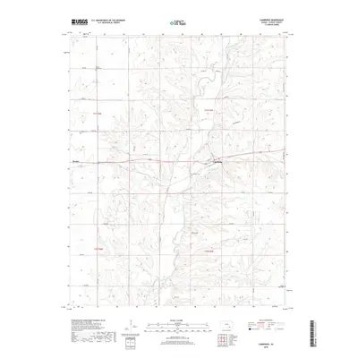
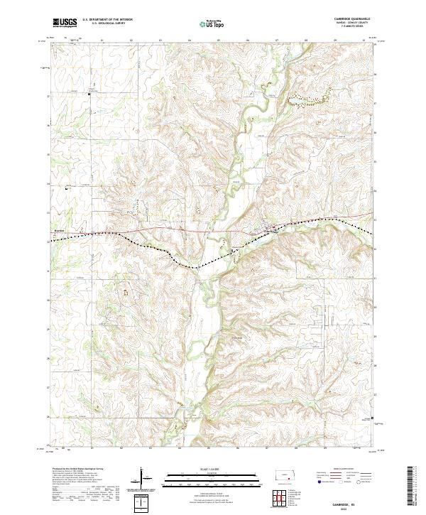
The Atchison Topeka and Santa Fe railroad cuts a definitive line across this Kansas landscape, anchoring the village of Cambridge as a central transit point. During the early 1960s, the surrounding countryside was defined by a network of drainage basins including Grouse Creek, Silver Creek, and Cedar Creek. The mapping reveals a rural infrastructure of upland farms and valley cattle ranges, marked by distinct local landmarks like the Pumping Station and a hilltop Quarry. Genealogists will find several burial sites well-preserved in this record, including the Grand Prairie Cem to the northwest, Windsor Cem near the central creek bend, and the Gospel Ridge Cem at the southern boundary. This survey provides a clear view of the intersection between the rail economy and the rolling prairie creeks before modern agricultural expansion significantly altered the local terrain.
Find a feature on this map
24 named features on this map. Tap any name to fly to it.
Don’t see what you’re looking for? This feature index may not catch every label — zoom into the map to look around manually.
Map Details
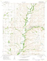
Editions of this 1962 Cambridge Map
This is the sole edition of this map. No revisions or reprints were ever made.
Historical Maps of Burden Through Time
6 maps found