
1964 Map of Burden
USGS Topo · Published 1966About this map
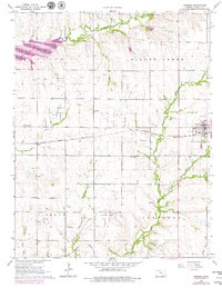
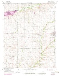
Burden and the surrounding Cowley County landscape are defined by a mix of mid-century agricultural land and intensive energy extraction. The terrain is partitioned by several named oil fields, including the Silver Creek Oil Field, Shannon Oil Field, and the Frog Hollow East Oil Field to the south. Two major rail lines, the Atchison Topeka and Santa Fe and the Missouri Pacific, intersect the region, facilitating the movement of goods and resources between smaller settlements like Tisdale and New Salem. Along the banks of Silver Creek and Timber Creek, the map records essential genealogy landmarks such as New Salem Cem, Silver Creek Cem, and Tisdale Cem. The presence of the Fairground on the edge of Burden suggests a central community hub for this rural Kansas district during the 1960s.
Find a feature on this map
28 named features on this map. Tap any name to fly to it.
Don’t see what you’re looking for? This feature index may not catch every label — zoom into the map to look around manually.
Map Details
Editions of this 1964 Burden Map
3 editions found
Other maps of this area

1889 · Burden
USGS Topo · 1:125,000

1955 · Wichita
USGS Topo · 1:250,000

1958 · Wichita
USGS Topo · 1:250,000

1962 · Dexter
USGS Topo · 1:24,000

1962 · Cambridge
USGS Topo · 1:24,000

1964 · Cambridge NW
USGS Topo · 1:24,000
1964 · Atlanta
USGS Topo · 1:24,000

1965 · Eaton
USGS Topo · 1:24,000

1965 · Winfield
USGS Topo · 1:24,000
1965 · Wilmot
USGS Topo · 1:24,000