
1965 Map of Winfield
USGS Topo · Published 1966About this map
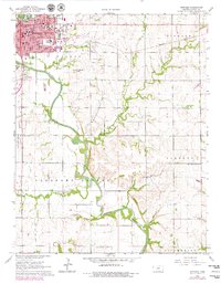
Winfield serves as the focal point of this mid-1960s survey, showing a well-established collegiate and administrative hub along the Walnut River. The city is defined by its educational institutions, including Southwestern College and St Johns College, alongside civic landmarks like the Courthouse. To the south and east, the landscape transitions from the urban grid to the rolling Cup and Saucer Hills and the winding course of Black Crook Creek.
Find a feature on this map
42 named features on this map. Tap any name to fly to it.
Don’t see what you’re looking for? This feature index may not catch every label — zoom into the map to look around manually.
Map Details
Editions of this 1965 Winfield Map
2 editions found
Other maps of this area

1889 · Burden
USGS Topo · 1:125,000

1890 · Wellington
USGS Topo · 1:125,000

1955 · Wichita
USGS Topo · 1:250,000

1958 · Wichita
USGS Topo · 1:250,000

1964 · Burden
USGS Topo · 1:24,000
1964 · Maple City
USGS Topo · 1:24,000

1965 · Silverdale
USGS Topo · 1:24,000

1965 · Arkansas City
USGS Topo · 1:24,000

1965 · Eaton
USGS Topo · 1:24,000
1965 · New Salem
USGS Topo · 1:24,000