
1965 Map of Arkansas City
USGS Topo · Published 1966About this map
The confluence of the Arkansas River and Walnut River anchors this 1965 survey of Arkansas City, Kansas. The town serves as a significant rail and industrial hub, defined by the crossing of the Atchison Topeka and Santa Fe, St Louis San Francisco, and Midland Valley Missouri Pacific railroads. The map highlights the town's educational infrastructure, featuring Central Junior College alongside several neighborhood institutions like Willard Sch and Roosevelt Sch.
Find a feature on this map
69 named features on this map. Tap any name to fly to it.
Don’t see what you’re looking for? This feature index may not catch every label — zoom into the map to look around manually.
Map Details
Editions of this 1965 Arkansas City Map
3 editions found
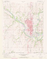
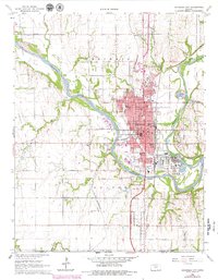
Other maps of this area

1889 · Burden
USGS Topo · 1:125,000

1890 · Wellington
USGS Topo · 1:125,000

1935 · Kaw
USGS Topo · 1:62,500

1955 · Wichita
USGS Topo · 1:250,000

1955 · Enid
USGS Topo · 1:250,000

1958 · Enid
USGS Topo · 1:250,000

1958 · Wichita
USGS Topo · 1:250,000

1963 · Kaw City NW
USGS Topo · 1:24,000

1965 · Silverdale
USGS Topo · 1:24,000

1965 · Adamsville
USGS Topo · 1:24,000