Old Maps of Arkansas City, Kansas
Explore 24 old maps of Arkansas City, spanning from 1889 to today. These high-resolution historic maps reveal how streets, neighborhoods, landmarks, and natural features evolved over time — perfect for genealogy, metal detecting, research, and local history exploration.
What you can do with these maps:
- See how Arkansas City changed over time: Compare historical maps to modern-day views to trace roads, homesites, rail lines & more.
- View detailed metadata: Each map includes creators, publishers, year, scale, and archive source.
- Overlay maps with satellite & LiDAR: Visualize the past alongside modern tools to explore terrain & human change.
- Trusted historical sources: Maps sourced from the USGS, Library of Congress, and other archives.
- Access maps your way: View online, download high-res files, or order prints for personal or research use.
Start exploring old maps of Arkansas City to uncover forgotten places, hidden landmarks, and the deep history beneath your feet.
Arkansas City, KS maps
(24)- 1889 Map of Burden
 1889 Burden1889 Print · USGSCowley County was at the height of its railroad-driven expansion in the 1880s, becoming a vital corridor for three major lines. Researchers can trace the early layouts of Winfield, Burden, and Dexter alongside long-lost railroad stops like Torrance.6 unique versions available
 - 1890 Map of Wellington
 1890 Wellington1890 Print · USGSSumner and Cowley counties are captured here in the late nineteenth century as a dense network of railroads and river towns transformed the Kansas prairie. Genealogists and historians can trace the early layouts of Wellington, Oxford, and Geuda Springs before the turn of the century.6 unique versions available
 - 1955 Map of Wichita, 1959 Print
 1955 Wichita1959 Print · USGSSouth-central Kansas comes alive in the mid-1950s as Wichita grows into its role as a regional industrial and military powerhouse. Trace the rail-and-river network connecting El Dorado and Arkansas City through the Atchison Topeka and Santa Fe lines.3 unique versions available
 - 1958 Map of Wichita
 1958 Wichita1958 Print · USGSSouth Central Kansas in the late fifties was a landscape of aviation industry, oil exploration, and expanding turnpikes. Researchers can trace mid-century growth through McConnell Air Force Base, major facilities for Cessna Aircraft Company, and the active El Dorado Oil Field.
 - 1965 Map of Silverdale, 1966 Print
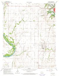
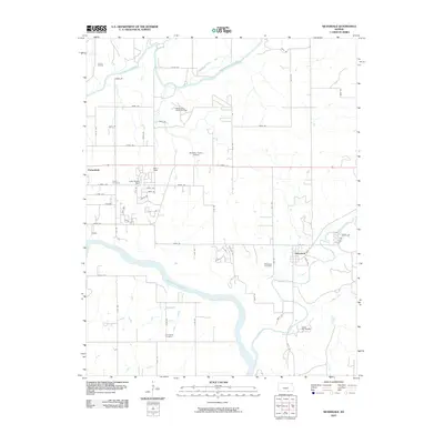
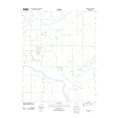
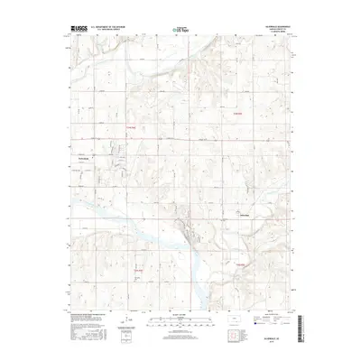
 1965 Silverdale1966 Print · USGSSouthern Cowley County comes into focus in the mid-sixties, where the Arkansas River meets an landscape of limestone quarries and old treaty lines. Genealogists and local historians can locate family landmarks like Parker Cem, Grandview Ch, and the Old Indian Treaty Boundary.
 - 1965 Map of Arkansas City, 1966 Print
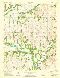
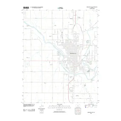
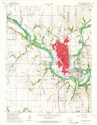 1965 Arkansas City1966 Print · USGSArkansas City sits at the busy junction of three railroads and two rivers during the mid-sixties. Researchers can trace the town's growth through its many schools and parks, or locate rural landmarks like Mt Zion Ch and the Canfield Oil Field.3 unique versions available
 - 1965 Map of Hackney, 1966 Print
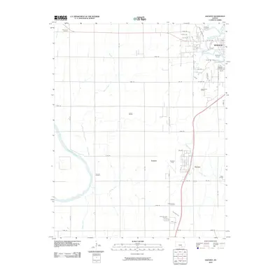
 1965 Hackney1966 Print · USGSCowley County is captured in the mid-sixties at the junction of the Arkansas River and Walnut River during a period of active oil exploration. Researchers can trace rural school locations like South Vernon Sch and identify local family burial sites such as Tannehill Cem or Memorial Lawn Cem.2 unique versions available
 - 1985 Map of Sedan
 1985 Sedan1985 Print · USGSSoutheast Kansas in the mid-1980s is defined by rail towns and prairie waterways along the Chautauqua and Cowley county lines. Researchers can trace the Atchison Topeka and Santa Fe line through Grenola or locate the Indian Treaty Boundary and Kaw State Wildlife Area.2 unique versions available
 - 1985 Map of Wellington
 1985 Wellington1985 Print · USGSSouthern Kansas in the mid-eighties reveals a landscape shaped by historical lines and rail commerce, from Wellington to the Arkansas River. Researchers can trace the Old Indian Treaty Boundary and locate family sites near Prairie Lawn Cem or Bluff City.2 unique versions available
 - 2010 Map of Silverdale, 2010 Print
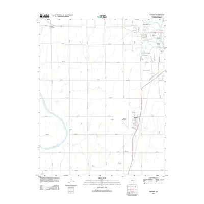
 2010 Silverdale2010 Print · USGSCovers Arkansas City, including Parkerfield, Silverdale, and other nearby areas
 - 2010 Map of Hackney, 2010 Print
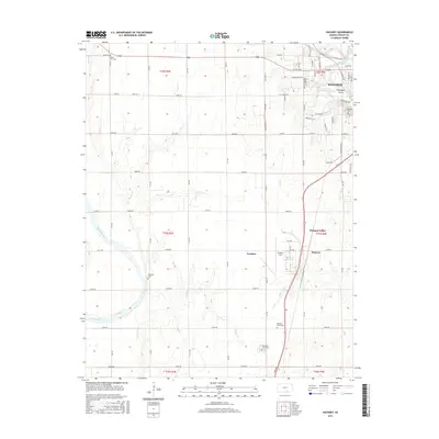
 2010 Hackney2010 Print · USGSCovers Arkansas City, including Winfield, Tresham, and other nearby areas
 - 2010 Map of Arkansas City, 2010 Print
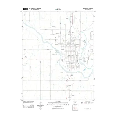
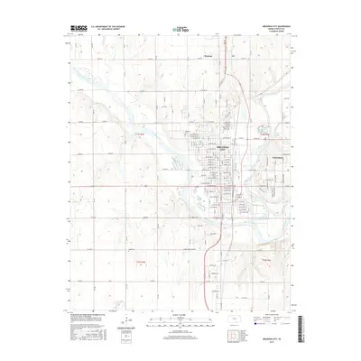
 2010 Arkansas City2010 Print · USGSCovers Arkansas City, including Parkerfield, Moxham, and other nearby areas
 - 2012 Map of Silverdale, 2012 Print
 2012 Silverdale2012 Print · USGSCovers Arkansas City, including Parkerfield, Silverdale, and other nearby areas
 - 2012 Map of Arkansas City, 2012 Print
 2012 Arkansas City2012 Print · USGSCovers Arkansas City, including Parkerfield, Moxham, and other nearby areas
 - 2012 Map of Hackney, 2012 Print
 2012 Hackney2012 Print · USGSCovers Arkansas City, including Winfield, Tresham, and other nearby areas
 - 2015 Map of Silverdale, 2015 Print
 2015 Silverdale2015 Print · USGSCovers Arkansas City, including Parkerfield, Silverdale, and other nearby areas
 - 2015 Map of Hackney, 2015 Print
 2015 Hackney2015 Print · USGSCovers Arkansas City, including Winfield, Tresham, and other nearby areas
 - 2015 Map of Arkansas City, 2015 Print
 2015 Arkansas City2015 Print · USGSCovers Arkansas City, including Parkerfield, Moxham, and other nearby areas
 - 2018 Map of Silverdale, 2018 Print
 2018 Silverdale2018 Print · USGSCovers Arkansas City, including Parkerfield, Silverdale, and other nearby areas
 - 2018 Map of Arkansas City, 2018 Print
 2018 Arkansas City2018 Print · USGSCovers Arkansas City, including Parkerfield, Moxham, and other nearby areas
 - 2018 Map of Hackney, 2018 Print
 2018 Hackney2018 Print · USGSCovers Arkansas City, including Winfield, Tresham, and other nearby areas
 - 2022 Map of Silverdale, 2022 Print
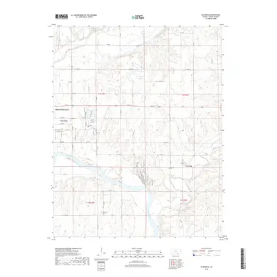
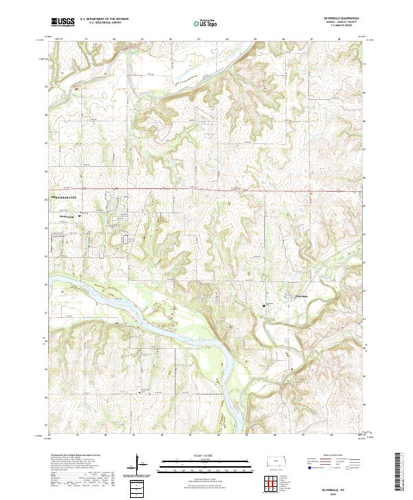 2022 Silverdale2022 Print · USGSSouthern Cowley County comes into focus in this contemporary survey of the river valleys east of the Flint Hills. Genealogists and local historians can trace family sites at Parker Cem and Silverdale Cem or follow the winding courses of Grouse Creek and the Arkansas River.
 - 2022 Map of Hackney, 2022 Print
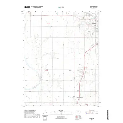
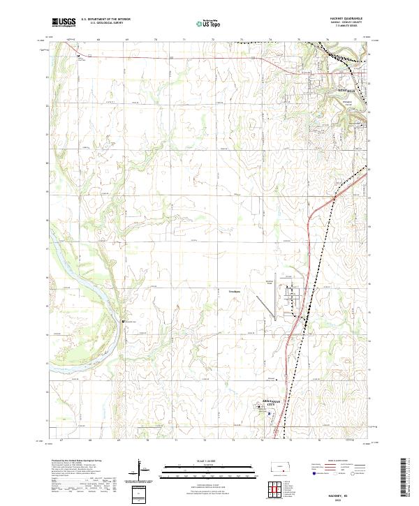 2022 Hackney2022 Print · USGSCowley County in the early 2020s shows the developed corridor between Winfield and Arkansas City. Genealogists and historians can trace local burials at Highland Cemetery or Tannehill Cemetery and find landmarks like Strother Field.
 - 2022 Map of Arkansas City, 2022 Print
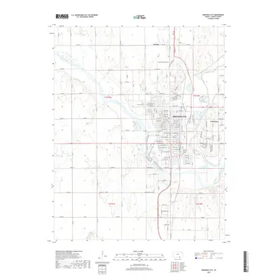
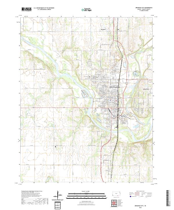 2022 Arkansas City2022 Print · USGSArkansas City and the surrounding Cowley County prairies are shown at the start of the 2020s, centered on the strategic confluence of the Arkansas River and Walnut River. Researchers can trace local roots through the Cowley County District Courthouse, Riverview Cem, and the community of Parkerfield.
End of results
Showing maps 1-24 of 24
Top cities near Arkansas City
- Winfield historical maps
- Newkirk historical maps
- Oxford historical maps
- Parkerfield historical maps
- Tisdale historical maps
- Silverdale historical maps
Frequently asked questions
- What are the different types of historical maps available for Arkansas City?
- What is the oldest map of Arkansas City?
- Where can I purchase historical maps of Arkansas City for my home or office?
- Where can I download high-res historical maps of Arkansas City?
- Are there historical topographic maps available for Arkansas City?
- Is there historical aerial imagery available for Arkansas City?
- Where are historical maps of Arkansas City sourced from?