2000s (21st Century) Maps of Arkansas City, Kansas
Explore 15 historic maps of Arkansas City from the 2000s (21st Century). These maps offer a rare glimpse into what life looked like during the 2000s — showing old roads, neighborhoods, homes, and landmarks that have changed or disappeared over time.
Whether you're researching your family's past, planning a metal detecting trip, or studying how Arkansas City's landscape evolved across the 2000s, these high-resolution maps are a powerful tool for exploring the history of this region.
- Focus on a specific era: All maps on this page are from the 2000s, giving you a focused view of this time period.
- See what’s changed: Compare century-old streets, trails, and buildings to today's modern landscape using overlays and satellite layers.
- Research with precision: Use these maps for genealogy, historical research, land use analysis, or educational projects.
- View, download, or print: Maps are fully viewable online in high resolution, and can be downloaded or printed for your own records.
Start exploring Arkansas City's history through authentic maps from the 2000s. This is your window into the past.
Arkansas City, KS maps
(15)- 2010 Map of Silverdale, 2010 Print
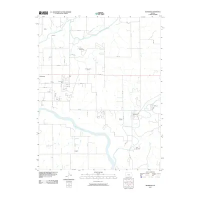 2010 Silverdale2010 Print · USGSCovers Arkansas City, including Parkerfield, Silverdale, and other nearby areas
 - 2010 Map of Hackney, 2010 Print
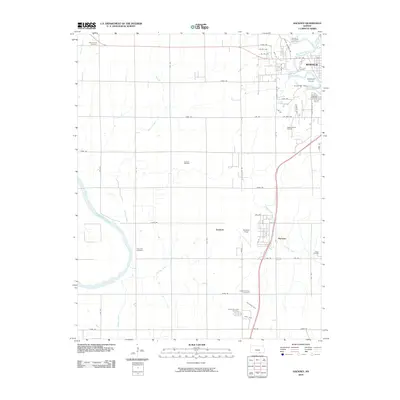 2010 Hackney2010 Print · USGSCovers Arkansas City, including Winfield, Tresham, and other nearby areas
 - 2010 Map of Arkansas City, 2010 Print
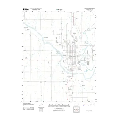
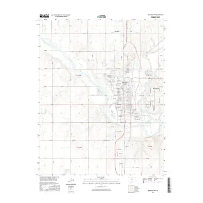
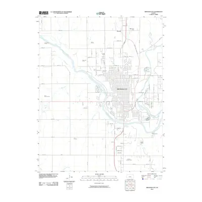 2010 Arkansas City2010 Print · USGSCovers Arkansas City, including Parkerfield, Moxham, and other nearby areas
 - 2012 Map of Silverdale, 2012 Print
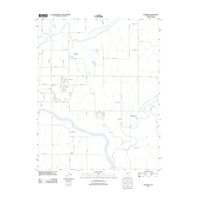 2012 Silverdale2012 Print · USGSCovers Arkansas City, including Parkerfield, Silverdale, and other nearby areas
 - 2012 Map of Arkansas City, 2012 Print
 2012 Arkansas City2012 Print · USGSCovers Arkansas City, including Parkerfield, Moxham, and other nearby areas
 - 2012 Map of Hackney, 2012 Print
 2012 Hackney2012 Print · USGSCovers Arkansas City, including Winfield, Tresham, and other nearby areas
 - 2015 Map of Silverdale, 2015 Print
 2015 Silverdale2015 Print · USGSCovers Arkansas City, including Parkerfield, Silverdale, and other nearby areas
 - 2015 Map of Hackney, 2015 Print
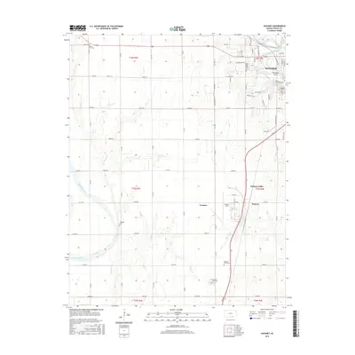 2015 Hackney2015 Print · USGSCovers Arkansas City, including Winfield, Tresham, and other nearby areas
 - 2015 Map of Arkansas City, 2015 Print
 2015 Arkansas City2015 Print · USGSCovers Arkansas City, including Parkerfield, Moxham, and other nearby areas
 - 2018 Map of Silverdale, 2018 Print
 2018 Silverdale2018 Print · USGSCovers Arkansas City, including Parkerfield, Silverdale, and other nearby areas
 - 2018 Map of Arkansas City, 2018 Print
 2018 Arkansas City2018 Print · USGSCovers Arkansas City, including Parkerfield, Moxham, and other nearby areas
 - 2018 Map of Hackney, 2018 Print
 2018 Hackney2018 Print · USGSCovers Arkansas City, including Winfield, Tresham, and other nearby areas
 - 2022 Map of Silverdale, 2022 Print
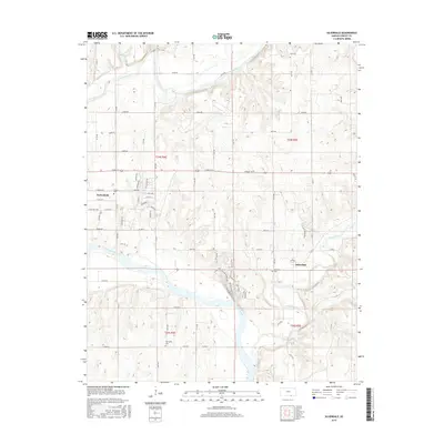
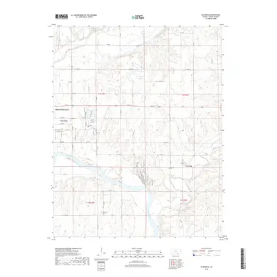
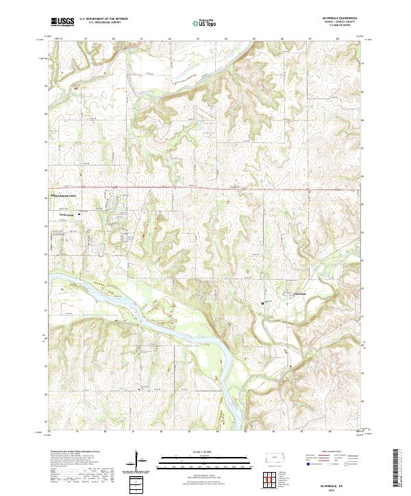 2022 Silverdale2022 Print · USGSSouthern Cowley County comes into focus in this contemporary survey of the river valleys east of the Flint Hills. Genealogists and local historians can trace family sites at Parker Cem and Silverdale Cem or follow the winding courses of Grouse Creek and the Arkansas River.
 - 2022 Map of Hackney, 2022 Print
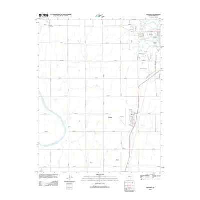
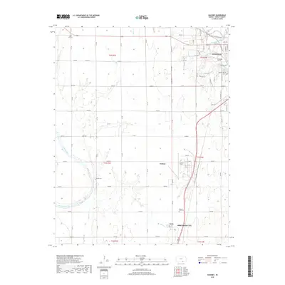
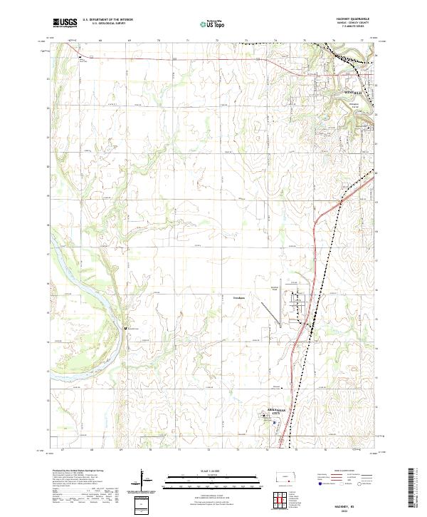 2022 Hackney2022 Print · USGSCowley County in the early 2020s shows the developed corridor between Winfield and Arkansas City. Genealogists and historians can trace local burials at Highland Cemetery or Tannehill Cemetery and find landmarks like Strother Field.
 - 2022 Map of Arkansas City, 2022 Print
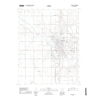
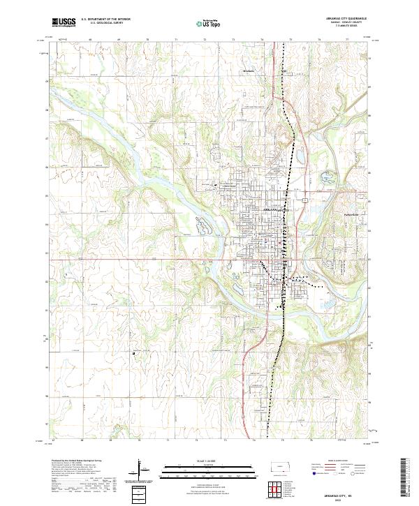 2022 Arkansas City2022 Print · USGSArkansas City and the surrounding Cowley County prairies are shown at the start of the 2020s, centered on the strategic confluence of the Arkansas River and Walnut River. Researchers can trace local roots through the Cowley County District Courthouse, Riverview Cem, and the community of Parkerfield.
End of results
Showing maps 1-15 of 15
Top cities near Arkansas City
- Winfield historical maps
- Newkirk historical maps
- Oxford historical maps
- Parkerfield historical maps
- Tisdale historical maps
- Silverdale historical maps
Frequently asked questions
- What are the different types of historical maps available for Arkansas City?
- What is the oldest map of Arkansas City?
- Where can I purchase historical maps of Arkansas City for my home or office?
- Where can I download high-res historical maps of Arkansas City?
- Are there historical topographic maps available for Arkansas City?
- Is there historical aerial imagery available for Arkansas City?
- Where are historical maps of Arkansas City sourced from?