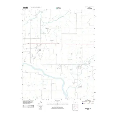
2010 Map of Silverdale
USGS Topo · Published 2010About this map
The Arkansas River and Walnut River converge near the growing community of Parkerfield, marking a landscape defined by its waterways and energy resources. In the early 21st century, this portion of Cowley County remained an active site for extraction, evidenced by the Larcom Oil Field and the Walnut Bend Oil and Gas Field to the north. These industrial footprints sit alongside rural infrastructure like Marrs Field and Charden Farms Airport, showing the intersection of local aviation and the regional petroleum economy.
Find a feature on this map
55 named features on this map. Tap any name to fly to it.
Don’t see what you’re looking for? This feature index may not catch every label — zoom into the map to look around manually.
Map Details
Editions of this 2010 Silverdale Map
This is the sole edition of this map. No revisions or reprints were ever made.
Other maps of this area

1889 · Burden
USGS Topo · 1:125,000

1890 · Wellington
USGS Topo · 1:125,000

1935 · Kaw
USGS Topo · 1:62,500

1955 · Wichita
USGS Topo · 1:250,000

1955 · Enid
USGS Topo · 1:250,000

1958 · Enid
USGS Topo · 1:250,000

1958 · Wichita
USGS Topo · 1:250,000

1963 · Kaw City NW
USGS Topo · 1:24,000
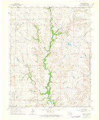
1964 · Hardy
USGS Topo · 1:24,000
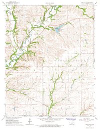
1964 · Maple City
USGS Topo · 1:24,000