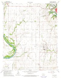
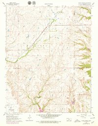
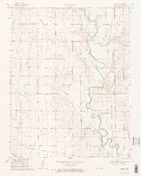
1965 Map of Hackney
USGS Topo · Published 1966This historical map portrays the area of Hackney in 1965, primarily covering Cowley County. Featuring a scale of 1:24000, this map provides a highly detailed snapshot of the terrain, roads, buildings, counties, and historical landmarks in the Hackney region at the time. Published in 1966, it is one of 2 known editions of this map due to revisions or reprints.
Find a feature on this map
38 named features on this map. Tap any name to fly to it.
Don’t see what you’re looking for? This feature index may not catch every label — zoom into the map to look around manually.
Map Details
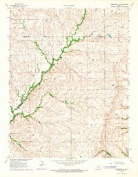
Editions of this 1965 Hackney Map
2 editions found
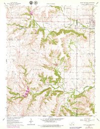
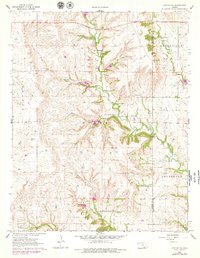
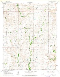
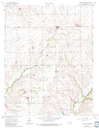
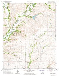
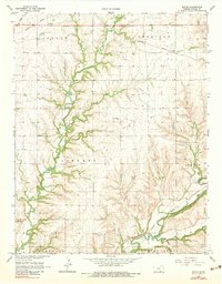
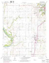
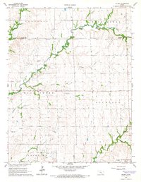
Historical Maps of Arkansas City Through Time
11 maps found
1962 Cedar Vale West
Cowley County, KS
1962 Dexter NE
Cowley County, KS
1962 Dexter SW
Cowley County, KS
1962 Grand Summit
Cowley County, KS
1964 Cambridge NE
Cowley County, KS
1964 Cambridge NW
Cowley County, KS
1964 Maple City
Cowley County, KS
1965 Akron
Cowley County, KS
1965 Eaton
Cowley County, KS
1965 Hackney
Cowley County, KS
1965 Wilmot
Cowley County, KS