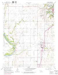
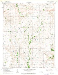
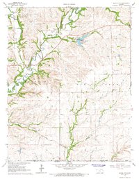
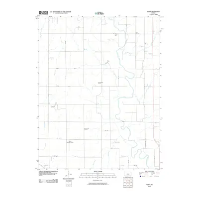
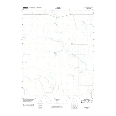
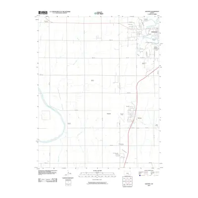
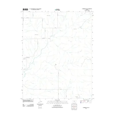
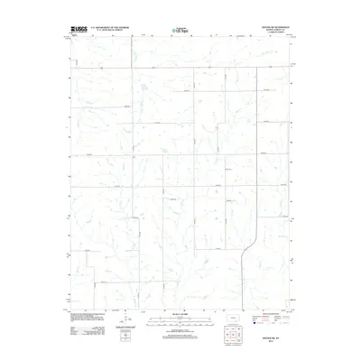
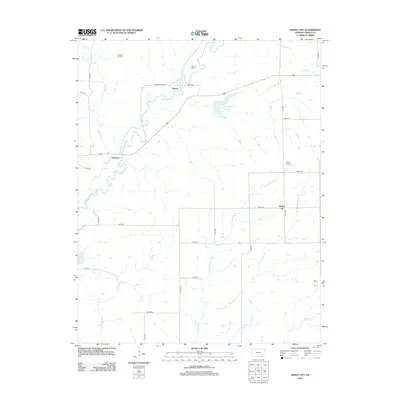
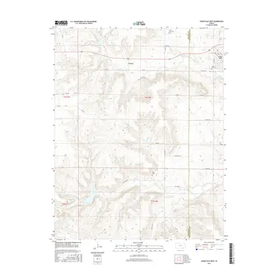
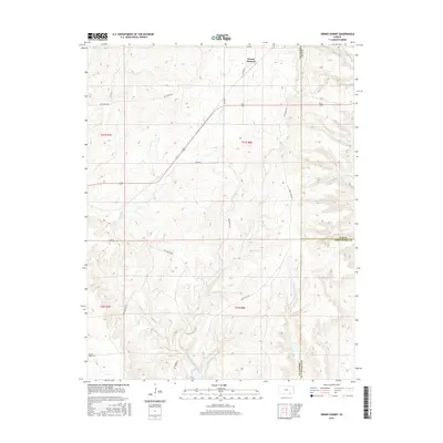
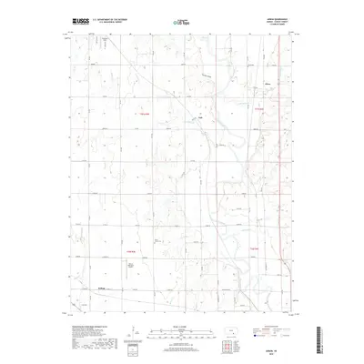
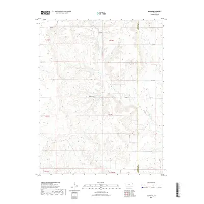
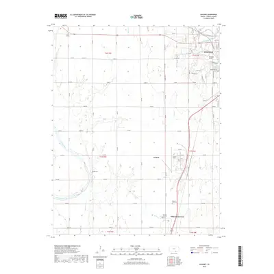
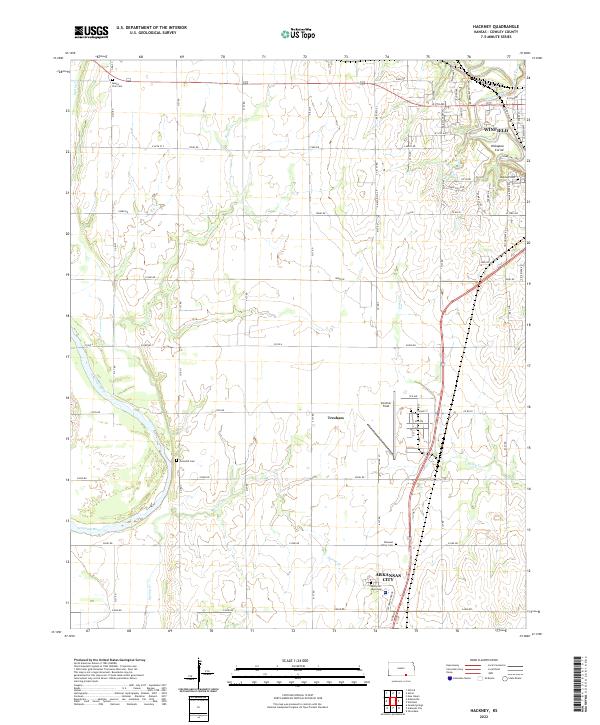
1965 Map of Hackney
USGS Topo · Published 1979About this map
The Arkansas River and Walnut River converge south of Winfield, shaping a landscape defined by water and heavy industry in southern Cowley County. This 1960s survey illustrates a region where transportation and infrastructure were deeply integrated into the prairie, from the expansive Strother Airport to the multiple rail lines of the Atchison Topeka and Santa Fe and St Louis-San Francisco railroads. The map reveals a high concentration of energy extraction across several named fields, including the Stayton South Oil Field and the Rainbow Bend Oil Field. For local historians, the sheet preserves the location of rural education and community sites such as South Vernon Sch and Tannehill Cem, alongside unique landmarks like the Tunnel Mill Dam and the Kickapoo Corral near the river bend.
Find a feature on this map
39 named features on this map. Tap any name to fly to it.
Don’t see what you’re looking for? This feature index may not catch every label — zoom into the map to look around manually.
Map Details
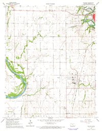
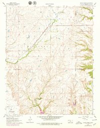
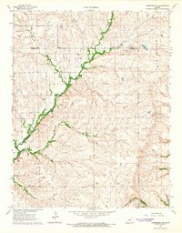
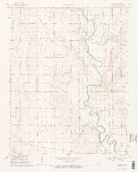
Editions of this 1965 Hackney Map
2 editions found
Historical Maps of Winfield Through Time
66 maps found
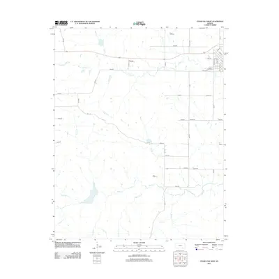
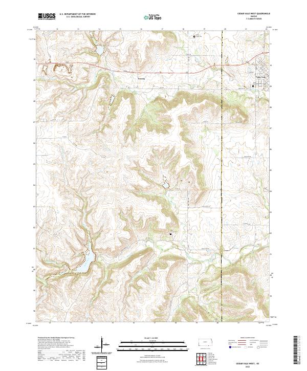
1962 Cedar Vale West
Cowley County, KS
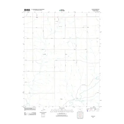
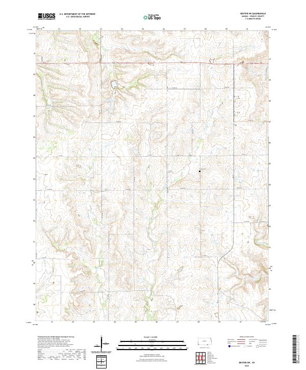
1962 Dexter NE
Cowley County, KS
1962 Dexter SW
Cowley County, KS
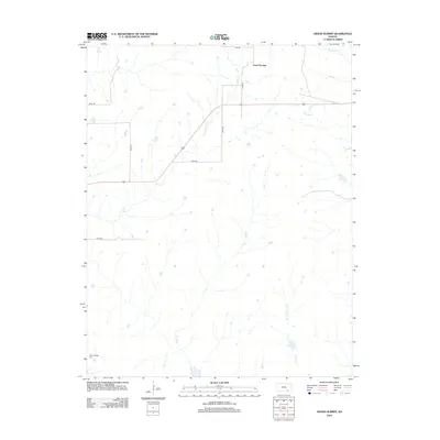
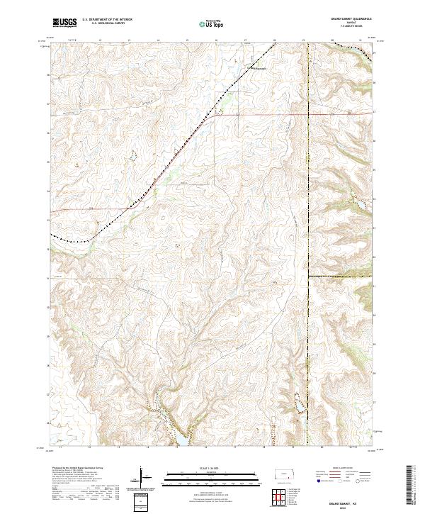
1962 Grand Summit
Cowley County, KS
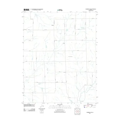
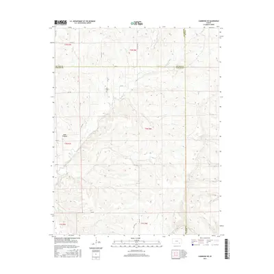
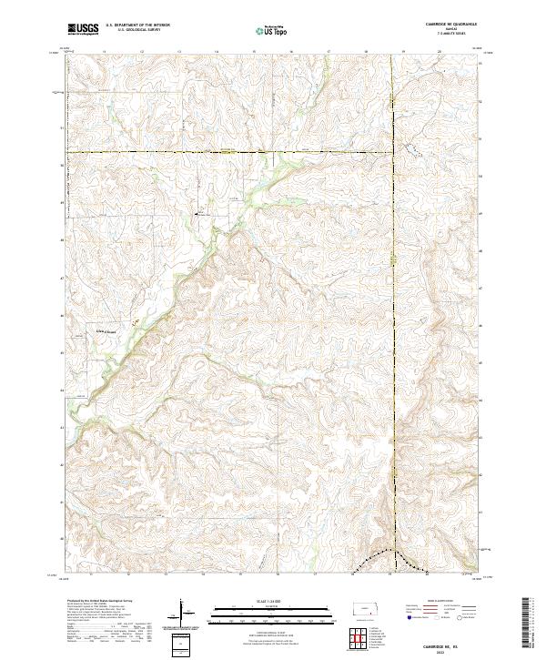
1964 Cambridge NE
Cowley County, KS
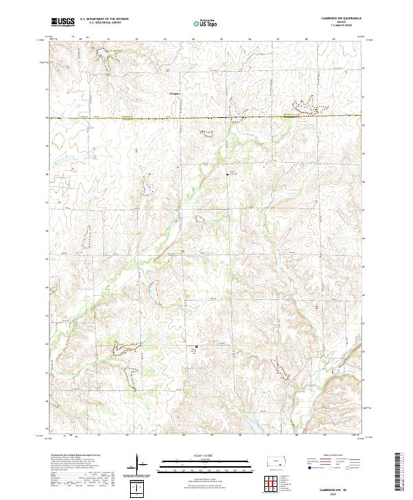
1964 Cambridge NW
Cowley County, KS
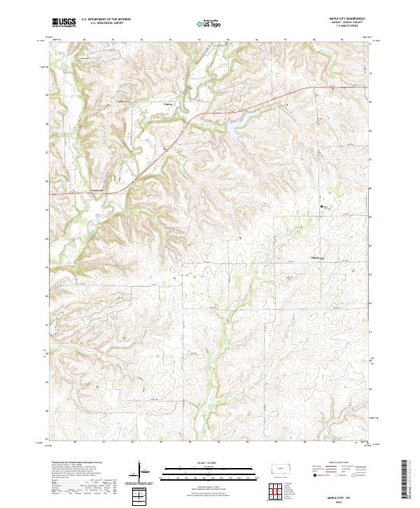
1964 Maple City
Cowley County, KS
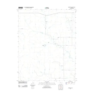
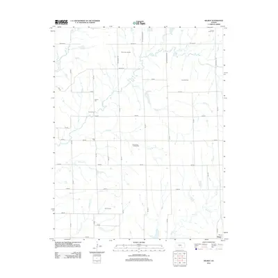
1965 Akron
Cowley County, KS
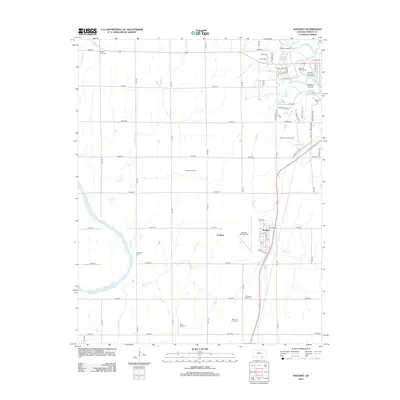
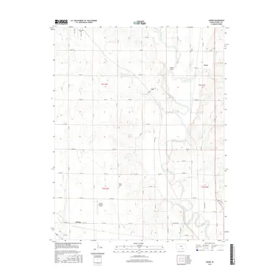
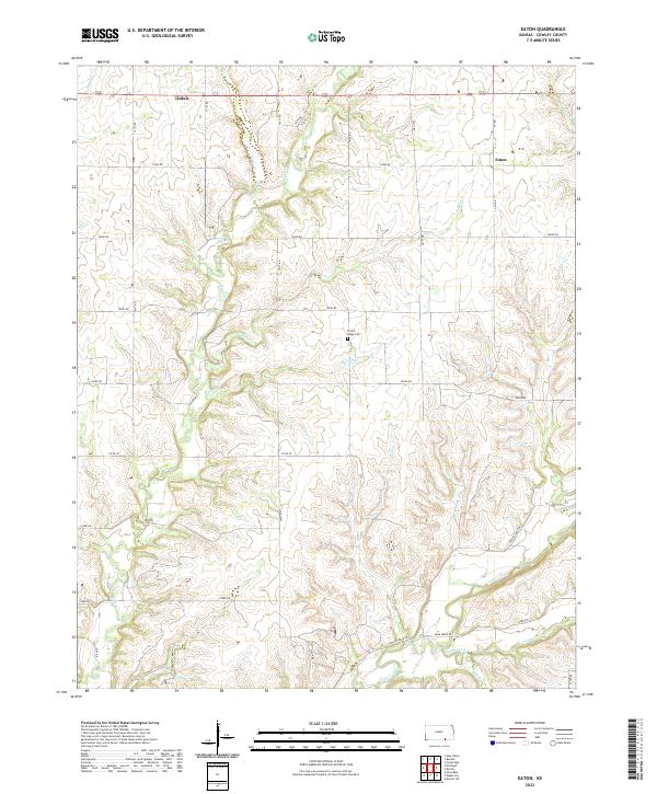
1965 Eaton
Cowley County, KS
1965 Hackney
Cowley County, KS
1965 Wilmot
Cowley County, KS
2010 Akron
Cowley County, KS
2010 Cambridge NE
Cowley County, KS
2010 Cambridge NW
Cowley County, KS
2010 Cedar Vale West
Cowley County, KS
2010 Dexter NE
Cowley County, KS
2010 Dexter SW
Cowley County, KS
2010 Eaton
Cowley County, KS
2010 Grand Summit
Cowley County, KS
2010 Hackney
Cowley County, KS
2010 Maple City
Cowley County, KS
2010 Wilmot
Cowley County, KS
2012 Akron
Cowley County, KS
2012 Cambridge NE
Cowley County, KS
2012 Cambridge NW
Cowley County, KS
2012 Cedar Vale West
Cowley County, KS
2012 Dexter NE
Cowley County, KS
2012 Dexter SW
Cowley County, KS
2012 Eaton
Cowley County, KS
2012 Grand Summit
Cowley County, KS
2012 Hackney
Cowley County, KS
2012 Maple City
Cowley County, KS
2012 Wilmot
Cowley County, KS
2015 Akron
Cowley County, KS
2015 Cambridge NE
Cowley County, KS

2015 Cambridge NW
Cowley County, KS
2015 Cedar Vale West
Cowley County, KS
2015 Dexter NE
Cowley County, KS
2015 Dexter SW
Cowley County, KS
2015 Eaton
Cowley County, KS
2015 Grand Summit
Cowley County, KS
2015 Hackney
Cowley County, KS
2015 Maple City
Cowley County, KS
2015 Wilmot
Cowley County, KS
2018 Akron
Cowley County, KS
2018 Cambridge NE
Cowley County, KS
2018 Cambridge NW
Cowley County, KS
2018 Cedar Vale West
Cowley County, KS
2018 Dexter NE
Cowley County, KS
2018 Dexter SW
Cowley County, KS
2018 Eaton
Cowley County, KS
2018 Grand Summit
Cowley County, KS
2018 Hackney
Cowley County, KS
2018 Maple City
Cowley County, KS
2018 Wilmot
Cowley County, KS
2022 Akron
Cowley County, KS
2022 Cambridge NE
Cowley County, KS
2022 Cambridge NW
Cowley County, KS
2022 Cedar Vale West
Cowley County, KS

2022 Dexter NE
Cowley County, KS
2022 Dexter SW
Cowley County, KS
2022 Eaton
Cowley County, KS
2022 Grand Summit
Cowley County, KS
2022 Hackney
Cowley County, KS
2022 Maple City
Cowley County, KS
2022 Wilmot
Cowley County, KS