
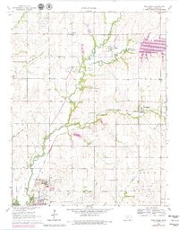
1965 Map of New Salem
USGS Topo · Published 1966About this map
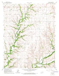
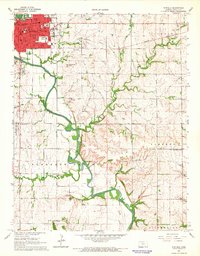
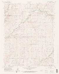
The expansive Winfield State Hospital complex and the northern reaches of Winfield anchor this mid-1960s survey of central Cowley County. Educational and social infrastructure is prominent, featuring the campus of Southwestern College and the local Sunnyside Sch. The landscape is defined by a dense network of petroleum extraction sites, with the David Oil Field and Deichman Oil Field marking the northern hills, while the Winfield Oil Field and the evocatively named Frog Hollow Oil Field dominate the southern sections.
Find a feature on this map
27 named features on this map. Tap any name to fly to it.
Don’t see what you’re looking for? This feature index may not catch every label — zoom into the map to look around manually.
Map Details
Editions of this 1965 New Salem Map
2 editions found
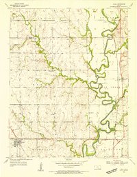
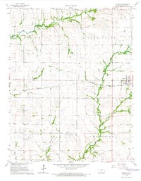
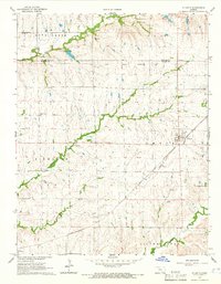
Other maps of this area

1889 · Burden
USGS Topo · 1:125,000

1890 · Wellington
USGS Topo · 1:125,000
1955 · Udall
USGS Topo · 1:24,000

1955 · Wichita
USGS Topo · 1:250,000

1958 · Wichita
USGS Topo · 1:250,000
1964 · Burden
USGS Topo · 1:24,000
1964 · Atlanta
USGS Topo · 1:24,000
1965 · Eaton
USGS Topo · 1:24,000
1965 · Winfield
USGS Topo · 1:24,000
1965 · Wilmot
USGS Topo · 1:24,000