
1963 Map of Leon
USGS Topo · Published 1964About this map
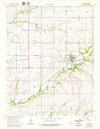
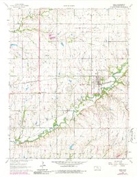
The St Louis-San Francisco railroad cuts a diagonal path through this Butler County landscape, centering on the town of Leon. During this early 1960s survey, the region’s economy was defined by the intersection of traditional agriculture and extensive petroleum extraction. This is evidenced by the sprawling El Dorado Oil Field and the Garden Reynolds Shaffer Oil Field, which are marked with numerous oil wells and drill holes.
Find a feature on this map
27 named features on this map. Tap any name to fly to it.
Don’t see what you’re looking for? This feature index may not catch every label — zoom into the map to look around manually.
Map Details
Editions of this 1963 Leon Map
3 editions found
Other maps of this area

1888 · Eldorado
USGS Topo · 1:125,000

1955 · Wichita
USGS Topo · 1:250,000

1958 · Wichita
USGS Topo · 1:250,000

1961 · Augusta
USGS Topo · 1:24,000

1961 · Pontiac
USGS Topo · 1:24,000

1961 · El Dorado
USGS Topo · 1:24,000

1961 · Gordon
USGS Topo · 1:24,000
1961 · El Dorado SW
USGS Topo · 1:24,000

1964 · Augusta SE
USGS Topo · 1:24,000

1964 · Latham
USGS Topo · 1:24,000