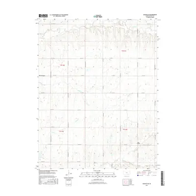
2015 Map of Augusta SE
USGS Topo · Published 2015About this map
The rolling prairies of southeast Butler County define this landscape, where the headwaters of several drainages carve a network of valleys through the Flint Hills. The settlement of Bloomington sits along the western edge, while Clay Center anchors the southeastern corner at the junction of Se Cole Creek Rd and the Latham-Clay Center Rd. This 2015 survey reveals a terrain dominated by rural section lines and cattle ranching, with water courses like Hickory Creek and Chigger Cr providing the primary relief. For genealogists and local historians, the Lone Star Cem serves as a significant landmark in the southern reaches of the quadrangle. The map captures the enduring agricultural character of the region, where roads like Se Teter Rd and Se Bluestem Rd follow the traditional grid through undulating hills drained by Rock Cr and its northern branch.
Find a feature on this map
37 named features on this map. Tap any name to fly to it.
Don’t see what you’re looking for? This feature index may not catch every label — zoom into the map to look around manually.
Map Details
Editions of this 2015 Augusta SE Map
This is the sole edition of this map. No revisions or reprints were ever made.
Other maps of this area

1888 · Eldorado
USGS Topo · 1:125,000

1889 · Burden
USGS Topo · 1:125,000

1955 · Wichita
USGS Topo · 1:250,000

1958 · Wichita
USGS Topo · 1:250,000

1961 · Augusta
USGS Topo · 1:24,000

1961 · Gordon
USGS Topo · 1:24,000

1963 · Leon
USGS Topo · 1:24,000

1964 · Augusta SE
USGS Topo · 1:24,000

1964 · Latham
USGS Topo · 1:24,000

1964 · Cambridge NW
USGS Topo · 1:24,000