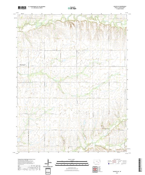
2022 Map of Augusta SE
USGS Topo · Published 2022About this map
Bloomington and Clay Center anchor this rural Butler County landscape, where the agricultural grid is defined by a dense network of sectional roads. The terrain is characterized by the branching drainage systems of Muddy Cr and Chigger Cr, which carve gentle draws through the prairie. In the southern portion of the map, the Lone Star Cem sits near the intersection of SE Teter Rd and SE 220th St, serving as a silent witness to the long-standing farming communities of this region. The map captures the persistent pastoral character of the area, where small settlements are connected by thoroughfares such as SW Walnut Valley Rd and Latham-Clay Center Rd. Several smaller watercourses, including Hickory Creek and N Br Rock Cr, suggest a land shaped by reliable, if modest, water sources used for generations by local ranchers and farmers.
Find a feature on this map
36 named features on this map. Tap any name to fly to it.
Don’t see what you’re looking for? This feature index may not catch every label — zoom into the map to look around manually.
Map Details
Editions of this 2022 Augusta SE Map
This is the sole edition of this map. No revisions or reprints were ever made.
Other maps of this area

1888 · Eldorado
USGS Topo · 1:125,000

1889 · Burden
USGS Topo · 1:125,000

1955 · Wichita
USGS Topo · 1:250,000

1958 · Wichita
USGS Topo · 1:250,000

1961 · Augusta
USGS Topo · 1:24,000

1961 · Gordon
USGS Topo · 1:24,000

1963 · Leon
USGS Topo · 1:24,000

1964 · Augusta SE
USGS Topo · 1:24,000

1964 · Latham
USGS Topo · 1:24,000

1964 · Cambridge NW
USGS Topo · 1:24,000