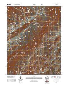
2011 Map of Augusta Springs
USGS Topo · Published 2011About this map
Augusta Springs sits at the foot of Little North Mountain, where the Little Calfpasture River and its numerous tributaries like Archer Run and Liptrap Run define the local topography. This part of the Shenandoah Valley reflects a history of small mountain settlements and industrial remnants, most notably the Estaline Furnace located near the community of Estaline. The landscape is a network of hollows and ridges, with family and place-named landmarks such as Sprouse Hollow, Brown Ridge, and Gum Lick Hollow suggesting a long-established pattern of rural settlement. Genealogists may find particular value in the Mount Herman Cemetery near Newport, while the Augusta Springs YCC Camp indicates the area's continued use for conservation and youth development. From the eastern flow of the Middle River to the western peaks of Big Knob, the map documents a terrain where small hamlets like Summerdean and Fordwick are connected by a web of traditional valley roads.
Find a feature on this map
57 named features on this map. Tap any name to fly to it.
Don’t see what you’re looking for? This feature index may not catch every label — zoom into the map to look around manually.
Map Details
Editions of this 2011 Augusta Springs Map
This is the sole edition of this map. No revisions or reprints were ever made.
Other maps of this area

1894 · Staunton
USGS Topo · 1:125,000

1894 · Lexington
USGS Topo · 1:125,000

1932 · Lexington
USGS Topo · 1:48,000

1936 · Vesuvius
USGS Topo · 1:48,000

1937 · Lexington
USGS Topo · 1:62,500

1941 · Vesuvius
USGS Topo · 1:62,500

1943 · Craigsville
USGS Topo · 1:62,500

1944 · Staunton
USGS Topo · 1:62,500

1945 · Craigsville
USGS Topo · 1:62,500

1947 · Staunton
USGS Topo · 1:62,500