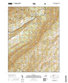
2019 Map of Augusta Springs
USGS Topo · Published 2019About this map
George Washington National Forest blankets the northwestern reaches of this terrain, where Augusta Springs sits at the base of the mountain ridges. The landscape is defined by the parallel orientation of the Little North Mountain range and the Estaline Valley, a pattern that has dictated local settlement and road networks for generations. To the south, the Augusta Co Rockbridge Co line cuts across the drainage of Moffatts Creek. Small rural communities like McKinley, Ferrol, and Summerdean are connected by winding routes such as Middlebrook Road and Summerdean Road. For those researching local heritage, the Mount Herman Cemetery and the industrial remnants near Fordwick and Craigsville provide concrete points of interest in this section of the Shenandoah Valley upland.
Find a feature on this map
64 named features on this map. Tap any name to fly to it.
Don’t see what you’re looking for? This feature index may not catch every label — zoom into the map to look around manually.
Map Details
Editions of this 2019 Augusta Springs Map
This is the sole edition of this map. No revisions or reprints were ever made.
Other maps of this area

1894 · Staunton
USGS Topo · 1:125,000

1894 · Lexington
USGS Topo · 1:125,000

1932 · Lexington
USGS Topo · 1:48,000

1936 · Vesuvius
USGS Topo · 1:48,000

1937 · Lexington
USGS Topo · 1:62,500

1941 · Vesuvius
USGS Topo · 1:62,500

1943 · Craigsville
USGS Topo · 1:62,500

1944 · Staunton
USGS Topo · 1:62,500

1945 · Craigsville
USGS Topo · 1:62,500

1947 · Staunton
USGS Topo · 1:62,500