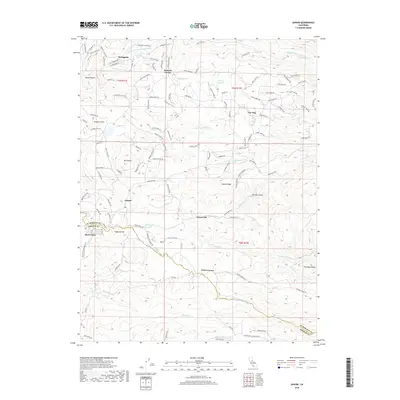
2018 Map of Aukum
USGS Topo · Published 2018About this map
The Middle Fork Cosumnes River and S Fork Cosumnes River define the hydraulic character of this Sierra Foothills landscape on the border of El Dorado and Amador Counties. The settlement patterns of the late 2010s are clearly visible, from the established community of River Pines in the southwest to the agricultural and residential clusters at Fair Play and Outingdale. The terrain is marked by numerous named drainages such as Spanish Cr and Cedar Cr, which cut through prominent landforms like Coyote Ridge and Farnham Ridge.
Find a feature on this map
124 named features on this map. Tap any name to fly to it.
Don’t see what you’re looking for? This feature index may not catch every label — zoom into the map to look around manually.
Map Details
Editions of this 2018 Aukum Map
This is the sole edition of this map. No revisions or reprints were ever made.
Other maps of this area

1889 · Jackson
USGS Topo · 1:125,000

1891 · Placerville
USGS Topo · 1:125,000

1892 · Jackson
USGS Topo · 1:125,000

1892 · Placerville
USGS Topo · 1:125,000

1893 · Placerville
USGS Topo · 1:125,000

1897 · Jackson
USGS Topo · 1:125,000

1902 · Jackson
USGS Topo · 1:125,000

1941 · Sutter Creek
USGS Topo · 1:62,500

1944 · Sutter Creek
USGS Topo · 1:62,500

1947 · Sacramento
USGS Topo · 1:250,000