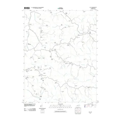
2010 Map of Ault
USGS Topo · Published 2010About this map
The ridge-and-hollow terrain of Elliott County is meticulously detailed here, centered on the community of Sideway and the winding course of Big Caney Creek. This 2010 survey highlights a rural landscape defined by family history, where dozens of small family burial grounds like the Flem Jones Cemetery and LeMasters-Holbrook Cemetery sit adjacent to homesteads and narrow mountain roads. The presence of the Gimlet Post Office and Stark Post Office indicates the enduring importance of these small rural hubs in the eastern Kentucky hills.
Find a feature on this map
131 named features on this map. Tap any name to fly to it.
Don’t see what you’re looking for? This feature index may not catch every label — zoom into the map to look around manually.
Map Details
Editions of this 2010 Ault Map
This is the sole edition of this map. No revisions or reprints were ever made.
Other maps of this area

1929 · Morehead
USGS Topo · 1:48,000

1935 · Morehead
USGS Topo · 1:62,500

1950 · Bruin
USGS Topo · 1:24,000

1950 · Grahn
USGS Topo · 1:24,000

1950 · Isonville
USGS Topo · 1:24,000

1950 · Olive Hill
USGS Topo · 1:24,000

1950 · Ault
USGS Topo · 1:24,000

1950 · Sandy Hook
USGS Topo · 1:24,000

1951 · Soldier
USGS Topo · 1:24,000

1953 · Haldeman
USGS Topo · 1:24,000