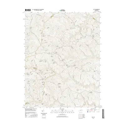
2016 Map of Ault
USGS Topo · Published 2016About this map
The ridge-and-valley landscape of Elliott County and neighboring Rowan and Carter counties is densely marked by family lineages and small settlements in this 2016 survey. Rural life is anchored around Beartown, Sideway, and Ordinary, where narrow roads follow the winding drainage of Big Caney Cr and Arabs Fork. The map serves as a detailed record for genealogists, featuring dozens of small family burial grounds such as Norman Henderson Cem, Scaggs-Wilson Cem, and Bryant-Goodman Cem tucked into the hillsides.
Find a feature on this map
148 named features on this map. Tap any name to fly to it.
Don’t see what you’re looking for? This feature index may not catch every label — zoom into the map to look around manually.
Map Details
Editions of this 2016 Ault Map
This is the sole edition of this map. No revisions or reprints were ever made.
Other maps of this area
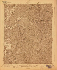
1929 · Morehead
USGS Topo · 1:48,000
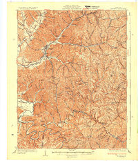
1935 · Morehead
USGS Topo · 1:62,500
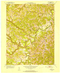
1950 · Bruin
USGS Topo · 1:24,000
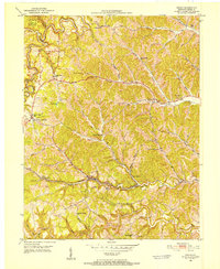
1950 · Grahn
USGS Topo · 1:24,000
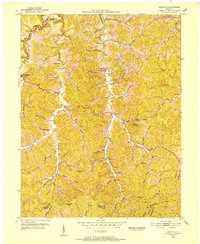
1950 · Isonville
USGS Topo · 1:24,000
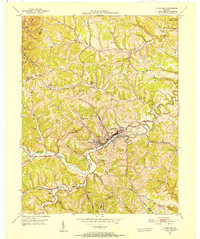
1950 · Olive Hill
USGS Topo · 1:24,000
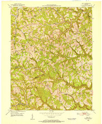
1950 · Ault
USGS Topo · 1:24,000
1950 · Sandy Hook
USGS Topo · 1:24,000
1951 · Soldier
USGS Topo · 1:24,000
1953 · Haldeman
USGS Topo · 1:24,000