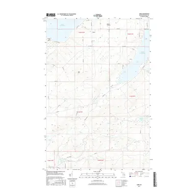
2017 Map of Aura
USGS Topo · Published 2017About this map
The Aura settlement and the wooded reaches of the Abbaye Peninsula characterize this coastal landscape on the southern shores of Lake Superior. The area is defined by its dramatic water features, including a series of cascades such as Silver Falls, Middle Silver River Falls, and Gomanche Falls along the Silver River. These falls illustrate the sharp elevation changes as interior drainage systems descend toward the lake. Local genealogy and history are anchored at the Aura Cem, located just south of the main settlement area near Heltunen Rd. The map reveals a network of roads named for local families, including Waisanen Rd, Koski, and Saari, which weave through the terrain toward Huron Bay. To the east, the shoreline is punctuated by sheltered waters like Echo Harbor and Snug Harbor, while Pikes Peak provides a significant inland landmark overlooking the peninsula's southern neck.
Find a feature on this map
56 named features on this map. Tap any name to fly to it.
Don’t see what you’re looking for? This feature index may not catch every label — zoom into the map to look around manually.
Map Details
Editions of this 2017 Aura Map
This is the sole edition of this map. No revisions or reprints were ever made.
Other maps of this area

1954 · Skanee
USGS Topo · 1:62,500

1954 · Keweenaw Bay
USGS Topo · 1:62,500

1955 · Herman
USGS Topo · 1:62,500

1956 · Michigamme
USGS Topo · 1:62,500

1958 · Iron River
USGS Topo · 1:250,000

1960 · Iron River
USGS Topo · 1:250,000

1961 · Iron River
USGS Topo · 1:250,000

1967 · Iron River
USGS Topo · 1:250,000
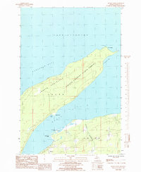
1984 · Skanee North
USGS Topo · 1:24,000
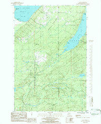
1984 · Aura
USGS Topo · 1:24,000