
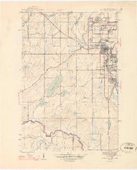
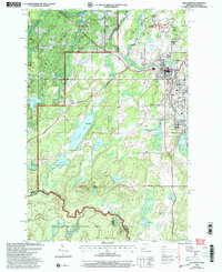
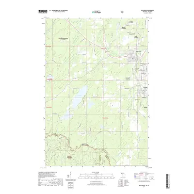
1967 Map of Iron River
USGS Topo · Published 1968About this map
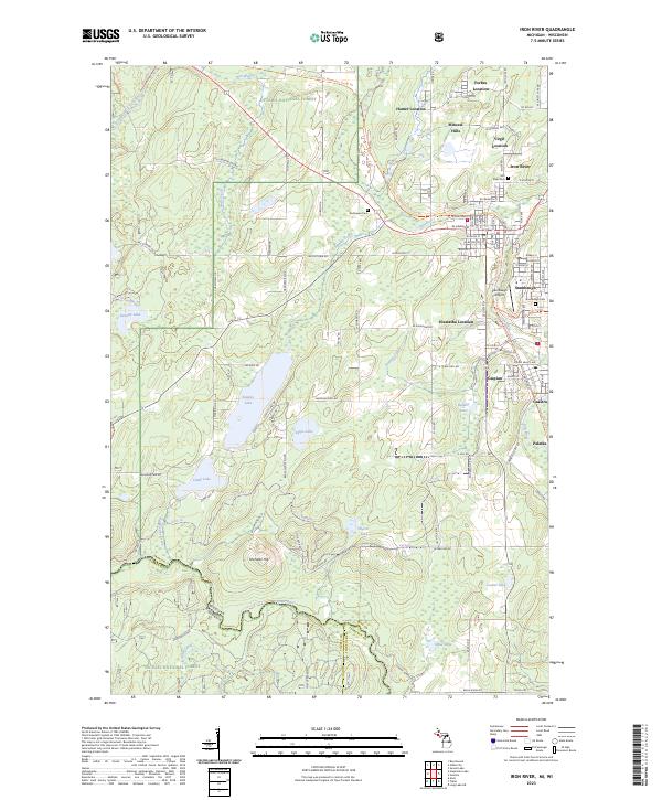
Keweenaw Bay and the south shore of Lake Superior anchor this late 1960s survey of the Upper Peninsula and northern Wisconsin borderlands. The map reveals a region defined by its massive timber reserves and mineral history, with the Ottawa National Forest and Baraga State Forest covering vast tracts of the interior. Settlement patterns follow the historic transportation corridors of the Soo Line and the Chicago Milwaukee St Paul and Pacific railroads, which connected lakeside towns like L'Anse and Ontonagon to the iron and copper districts.
Find a feature on this map
185 named features on this map. Tap any name to fly to it.
Don’t see what you’re looking for? This feature index may not catch every label — zoom into the map to look around manually.
Map Details
Editions of this 1967 Iron River Map
This is the sole edition of this map. No revisions or reprints were ever made.
Historical Maps of Lac du Flambeau Through Time
14 maps found
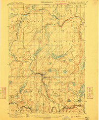
1898 Iron River
Iron County, MI
1944 Iron River
Iron County, MI
1946 Iron River
Iron County, MI
1958 Iron River
Iron County, MI

1960 Iron River
Iron County, MI

1961 Iron River
Iron County, MI
1967 Iron River
Iron County, MI

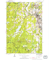
1989 Iron River
Iron County, MI
1999 Iron River
Iron County, MI
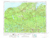
2011 Iron River
Iron County, MI
2014 Iron River
Iron County, MI
2017 Iron River
Iron County, MI
2019 Iron River
Iron County, MI
2023 Iron River
Iron County, MI