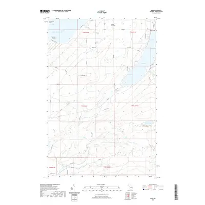
2019 Map of Aura
USGS Topo · Published 2019About this map
The settlement of Aura anchors the northern portion of this map, situated on the western side of the Abbaye Peninsula. The landscape is defined by its relationship with Lake Superior, where the shoreline transitions from the sheltered waters of Sand Bay and Snug Harbor to the more exposed Rock Beach Point. Inland, the terrain rises toward several summits of Pikes Peak, which overlook a network of creeks and rivers. This area is notable for its numerous waterfalls, including Slate River Falls, Gomanche Falls, and Middle Silver River Falls, indicating the sharp drop in elevation as waters flow toward Huron Bay. Local history is preserved at the Aura Cemetery, while roads like Skanee Rd and Dakota Farm Rd trace the agricultural and residential development through the woods and along the river valleys.
Find a feature on this map
59 named features on this map. Tap any name to fly to it.
Don’t see what you’re looking for? This feature index may not catch every label — zoom into the map to look around manually.
Map Details
Editions of this 2019 Aura Map
This is the sole edition of this map. No revisions or reprints were ever made.
Other maps of this area

1954 · Skanee
USGS Topo · 1:62,500

1954 · Keweenaw Bay
USGS Topo · 1:62,500

1955 · Herman
USGS Topo · 1:62,500

1956 · Michigamme
USGS Topo · 1:62,500

1958 · Iron River
USGS Topo · 1:250,000

1960 · Iron River
USGS Topo · 1:250,000

1961 · Iron River
USGS Topo · 1:250,000

1967 · Iron River
USGS Topo · 1:250,000
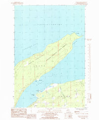
1984 · Skanee North
USGS Topo · 1:24,000
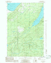
1984 · Aura
USGS Topo · 1:24,000