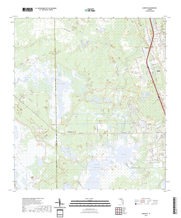
2024 Map of Aurantia
USGS Topo · Published 2024About this map
Salt Lake and Loughman Lake dominate the southern wetlands of this Florida landscape, where the boundary between Volusia and Brevard counties follows the intricate marshlands and creek systems. This area is defined by the preservation of massive natural tracts, including the Seminole Ranch Conservation Area and the Buck Lake Conservation Area. These protected lands surround various water bodies such as Freshwater Lake and the sprawling Spruce Creek Swamp to the north.
Find a feature on this map
68 named features on this map. Tap any name to fly to it.
Don’t see what you’re looking for? This feature index may not catch every label — zoom into the map to look around manually.
Map Details
Editions of this 2024 Aurantia Map
This is the sole edition of this map. No revisions or reprints were ever made.
Other maps of this area

1949 · Oak Hill
USGS Topo · 1:24,000

1949 · Titusville
USGS Topo · 1:24,000

1949 · Mims
USGS Topo · 1:24,000

1949 · Osceola
USGS Topo · 1:24,000

1950 · Maytown
USGS Topo · 1:24,000

1950 · Aurantia
USGS Topo · 1:24,000

1952 · Mims
USGS Topo · 1:24,000

1952 · Titusville
USGS Topo · 1:24,000

1953 · Geneva
USGS Topo · 1:24,000

1953 · Titusville SW
USGS Topo · 1:24,000