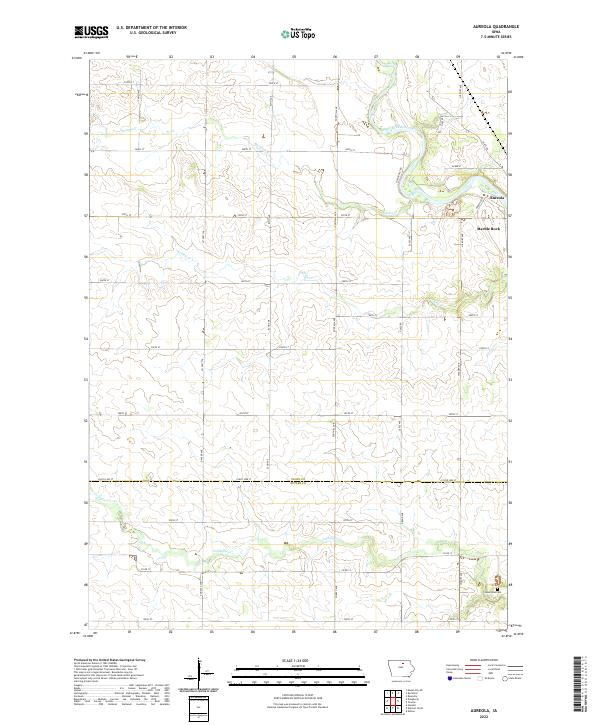
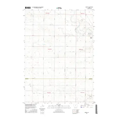
2022 Map of Aureola
USGS Topo · Published 2022About this map
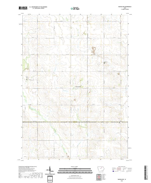
The Shell Rock River defines the northeastern landscape of this Floyd County region, winding through a terrain marked by small settlements and established rural roads. Near its banks sits Marble Rock and the neighboring community of Aureola, connected by a network of thoroughfares like Hickory Ave and Aureola Dr. The area is primarily agricultural, evidenced by the section-line grid that organizes the countryside into large parcels defined by creeks such as Beemis Cr and Ackley Cr.
Find a feature on this map
40 named features on this map. Tap any name to fly to it.
Don’t see what you’re looking for? This feature index may not catch every label — zoom into the map to look around manually.
Map Details
Editions of this 2022 Aureola Map
This is the sole edition of this map. No revisions or reprints were ever made.
Historical Maps of Marble Rock Through Time
12 maps found
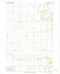
1971 Nashua NW
Floyd County, IA
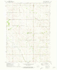
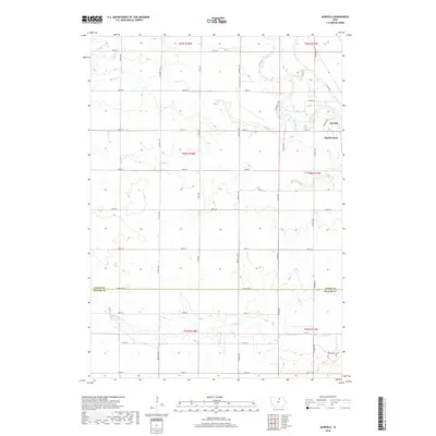
1972 Aureola
Floyd County, IA
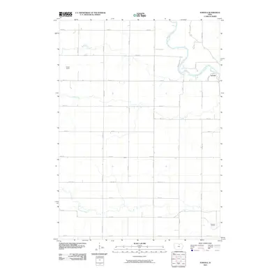
2010 Aureola
Floyd County, IA
2010 Nashua NW
Floyd County, IA
2013 Aureola
Floyd County, IA
2013 Nashua NW
Floyd County, IA
2015 Aureola
Floyd County, IA
2015 Nashua NW
Floyd County, IA
2018 Aureola
Floyd County, IA
2018 Nashua NW
Floyd County, IA
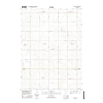
2022 Aureola
Floyd County, IA
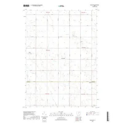
2022 Nashua NW
Floyd County, IA