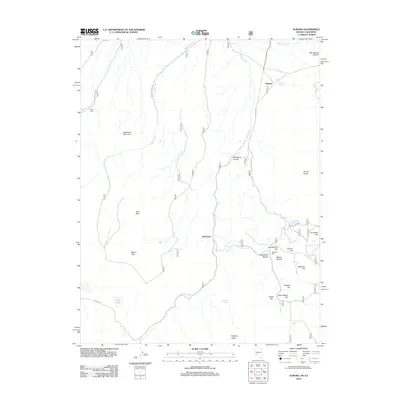
2012 Map of Aurora
USGS Topo · Published 2012About this map
Fletcher and the surrounding high-desert terrain of Mineral County define this 2012 survey, situated along the Nevada-California border. The landscape is characterized by a series of prominent peaks and hills named for local mining and ranching history, including Humboldt Hill, Aurora Hill, and Saint Marys Hill. To the west, China Camp and Del Monte stand as markers of human activity in this arid environment, connected by historic routes like Bodie Rd and State Rte 3C.
Find a feature on this map
33 named features on this map. Tap any name to fly to it.
Don’t see what you’re looking for? This feature index may not catch every label — zoom into the map to look around manually.
Map Details
Editions of this 2012 Aurora Map
This is the sole edition of this map. No revisions or reprints were ever made.
Other maps of this area

1909 · Hawthorne
USGS Topo · 1:250,000

1909 · Bridgeport
USGS Topo · 1:125,000

1911 · Bridgeport
USGS Topo · 1:125,000

1911 · Hawthorne
USGS Topo · 1:250,000

1915 · Hawthorne
USGS Topo · 1:250,000

1920 · Bridgeport
USGS Topo · 1:125,000

1948 · Walker Lake
USGS Topo · 1:250,000

1956 · Aurora
USGS Topo · 1:62,500

1957 · Walker Lake
USGS Topo · 1:250,000

1958 · Bodie
USGS Topo · 1:62,500