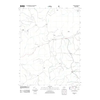
2011 Map of Aurora
USGS Topo · Published 2011About this map
Aurora serves as a central hub in this high-elevation pocket of Preston County, where the settlement pattern follows the ridges and narrow valleys of the Allegheny Mountains. Established landmarks like the Aurora Post Office and Horse Shoe Run Post Office anchor a landscape defined by small rural communities and family-named terrain features such as Stemple Ridge and Shaffer Mountain. The area is notably dense with small burial grounds, including the Accident Cemetery and Beachy Cemetery, which offer valuable points of reference for genealogists studying the local families who settled along the many runs and creeks.
Find a feature on this map
64 named features on this map. Tap any name to fly to it.
Don’t see what you’re looking for? This feature index may not catch every label — zoom into the map to look around manually.
Map Details
Editions of this 2011 Aurora Map
This is the sole edition of this map. No revisions or reprints were ever made.
Other maps of this area

1886 · St. George
USGS Topo · 1:125,000

1891 · St. George
USGS Topo · 1:125,000

1895 · Piedmont
USGS Topo · 1:125,000

1899 · Oakland
USGS Topo · 1:62,500
1900 · Oakland
USGS Topo · 1:62,500

1907 · Kingwood
USGS Topo · 1:62,500
1908 · Parsons
USGS Topo · 1:62,500
1916 · Davis
USGS Topo · 1:48,000
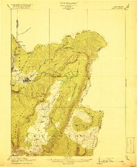
1918 · Davis
USGS Topo · 1:62,500
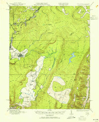
1919 · Davis
USGS Topo · 1:62,500