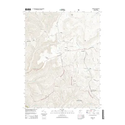
2014 Map of Aurora
USGS Topo · Published 2014About this map
Aurora serves as a central point in this part of Preston County, situated along the George Washington Hwy where it meets Stemple Ridge Rd. The landscape is defined by the high elevations of Shaffer Mtn and Lantz Ridge, with various small communities such as Amboy, Eglon, and Horse Shoe Run following the winding valley roads. The region is notable for its numerous springs and runs, including Old Indian Spring and Lace White Spring, which feed into the larger Horseshoe Run.
Find a feature on this map
71 named features on this map. Tap any name to fly to it.
Don’t see what you’re looking for? This feature index may not catch every label — zoom into the map to look around manually.
Map Details
Editions of this 2014 Aurora Map
This is the sole edition of this map. No revisions or reprints were ever made.
Other maps of this area

1886 · St. George
USGS Topo · 1:125,000

1891 · St. George
USGS Topo · 1:125,000

1895 · Piedmont
USGS Topo · 1:125,000

1899 · Oakland
USGS Topo · 1:62,500
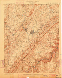
1900 · Oakland
USGS Topo · 1:62,500

1907 · Kingwood
USGS Topo · 1:62,500
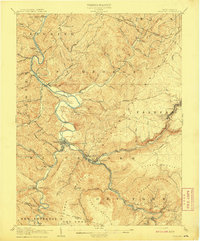
1908 · Parsons
USGS Topo · 1:62,500
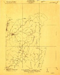
1916 · Davis
USGS Topo · 1:48,000
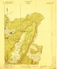
1918 · Davis
USGS Topo · 1:62,500
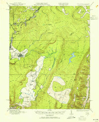
1919 · Davis
USGS Topo · 1:62,500