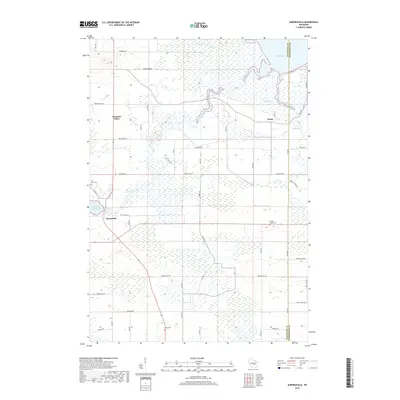
2018 Map of Auroraville
USGS Topo · Published 2018About this map
Lake Poygan and the vast Poygan Marsh dominate the northeastern reaches of this landscape, where the waters of the Pine River and Pumpkinseed Creek merge into the shoreline. The terrain is characterized by a high concentration of wetlands and waterways, with Willow Creek winding eastward through the southern half of the quadrangle. This hydraulic network historically shaped the local economy and settlement patterns, evidenced by the Auroraville Millpond 80 at the village of Auroraville.
Find a feature on this map
28 named features on this map. Tap any name to fly to it.
Don’t see what you’re looking for? This feature index may not catch every label — zoom into the map to look around manually.
Map Details
Editions of this 2018 Auroraville Map
This is the sole edition of this map. No revisions or reprints were ever made.
Other maps of this area

1915 · Neshkoro
USGS Topo · 1:48,000

1916 · Ripon
USGS Topo · 1:48,000

1918 · Neshkoro
USGS Topo · 1:62,500

1918 · Ripon
USGS Topo · 1:62,500

1955 · Green Bay
USGS Topo · 1:250,000

1956 · Ripon
USGS Topo · 1:62,500

1957 · Madison
USGS Topo · 1:250,000

1960 · Madison
USGS Topo · 1:250,000

1961 · Poy Sippi
USGS Topo · 1:62,500

1961 · Redgranite
USGS Topo · 1:62,500