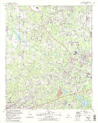
1992 Map of Austell
USGS Topo · Published 1992About this map
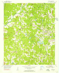
Sweetwater Creek and its many tributaries, including Noses Creek and Olley Creek, define the landscape of the western Atlanta suburbs during the early 1990s. The map illustrates the convergence of Cobb, Douglas, and Paulding counties, showing the established communities of Austell, Powder Springs, and Lithia Springs as they continued to develop along the corridor of the Southern Railroad. Numerous local landmarks such as Browns Bridge and Hayes Bridge crossed the waterways that once powered the region's early industries.
Find a feature on this map
58 named features on this map. Tap any name to fly to it.
Don’t see what you’re looking for? This feature index may not catch every label — zoom into the map to look around manually.
Map Details
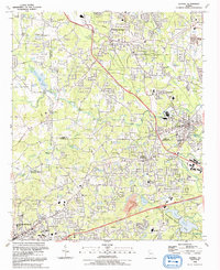
Editions of this 1992 Austell Map
2 editions found
Other maps of this area

1891 · Marietta
USGS Topo · 1:125,000

1895 · Marietta
USGS Topo · 1:125,000

1897 · Marietta
USGS Topo · 1:125,000

1901 · Marietta
USGS Topo · 1:125,000

1953 · Atlanta
USGS Topo · 1:250,000

1954 · Campbellton
USGS Topo · 1:24,000
1954 · Mableton
USGS Topo · 1:24,000
1954 · Lost Mountain
USGS Topo · 1:24,000

1954 · Austell
USGS Topo · 1:24,000
1954 · Ben Hill
USGS Topo · 1:24,000