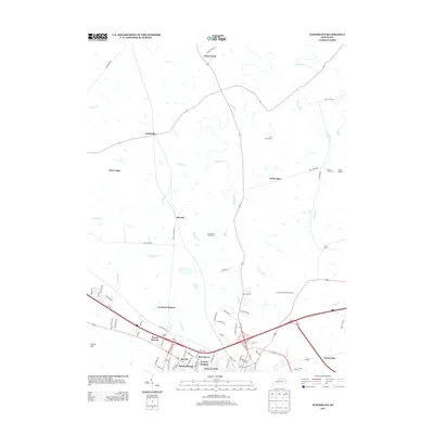
2013 Map of Austerlitz
USGS Topo · Published 2013About this map
The agricultural legacy of central Kentucky is evident across this landscape, where the Holmhurst Stock Farm and Gist Family Cem sit amidst a network of winding creeks and rising terrain. Waterways like Strodes Cr, Johnson Cr, and Pretty Run carve through the countryside, while more ancient landmarks such as the Devils Backbone and an Indian Mound suggest a much deeper history of the land.
Find a feature on this map
79 named features on this map. Tap any name to fly to it.
Don’t see what you’re looking for? This feature index may not catch every label — zoom into the map to look around manually.
Map Details
Editions of this 2013 Austerlitz Map
This is the sole edition of this map. No revisions or reprints were ever made.
Other maps of this area

1892 · Richmond
USGS Topo · 1:125,000

1897 · Richmond
USGS Topo · 1:125,000

1927 · Lexington
USGS Topo · 1:48,000

1929 · Lexington
USGS Topo · 1:62,500

1952 · Paris East
USGS Topo · 1:24,000

1952 · Clintonville
USGS Topo · 1:24,000

1952 · Austerlitz
USGS Topo · 1:24,000

1952 · North Middletown
USGS Topo · 1:24,000

1952 · Ford
USGS Topo · 1:24,000

1952 · Winchester
USGS Topo · 1:24,000