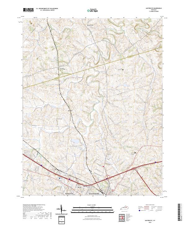
2022 Map of Austerlitz
USGS Topo · Published 2022This historical map portrays the area of Austerlitz in 2022, primarily covering Clark County as well as portions of Bourbon County. Featuring a scale of 1:24000, this map provides a highly detailed snapshot of the terrain, roads, buildings, counties, and historical landmarks in the Austerlitz region at the time. Published in 2022, it is the sole known edition of this map.
Map Details
Editions of this 2022 Austerlitz Map
This is the sole edition of this map. No revisions or reprints were ever made.
Historical Maps of Austerlitz Through Time
14 maps found
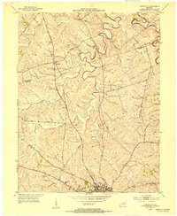
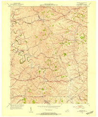
1952 Austerlitz
Clark County, KY
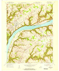
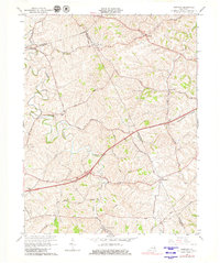
1952 Ford
Clark County, KY
1952 Hedges
Clark County, KY
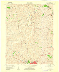
1952 Sideview
Clark County, KY
1954 Owen
Clark County, KY
1959 Austerlitz
Clark County, KY
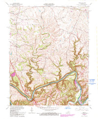
1965 Austerlitz
Clark County, KY
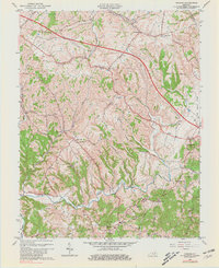
1965 Ford
Clark County, KY
1965 Hedges
Clark County, KY
1965 Sideview
Clark County, KY
2022 Austerlitz
Clark County, KY
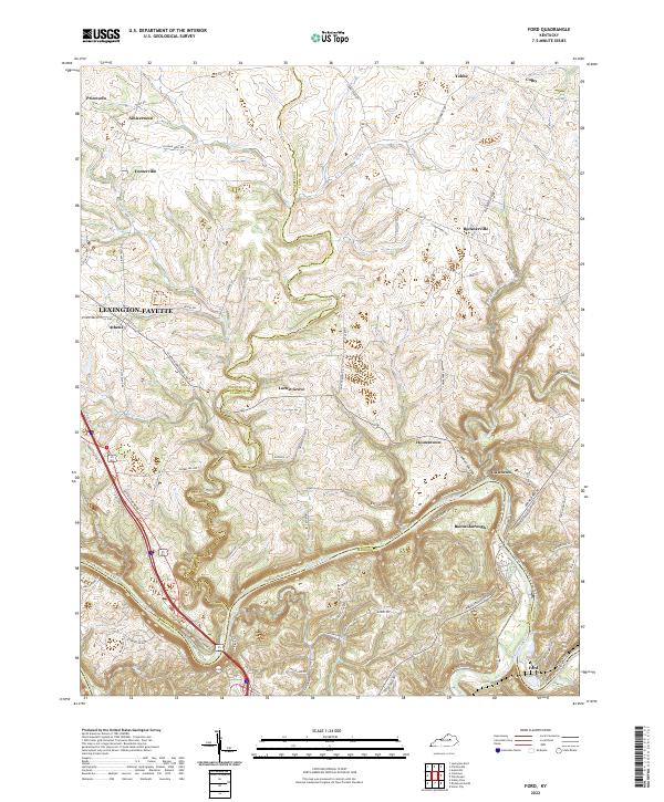
2022 Ford
Clark County, KY
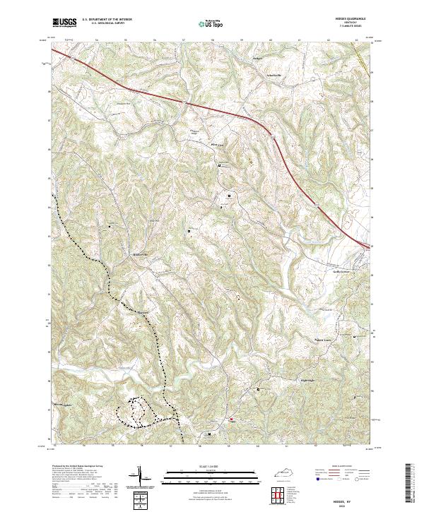
2022 Hedges
Clark County, KY
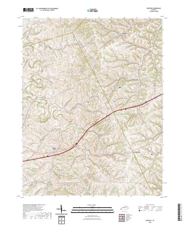
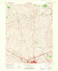
2022 Sideview
Clark County, KY