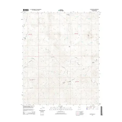
2014 Map of Austin Peak
USGS Topo · Published 2014About this map
The high desert terrain of the Aquarius Mountains defines this 2014 survey, dominated by prominent elevations such as Austin Peak and Snow Mtn. This landscape is deeply etched by a network of drainage systems, including Knight Cr and Ledge Canyon, which provide critical seasonal water sources in an arid environment. The map reveals a pattern of land use centered on scattered water points, with numerous named springs such as Schoolhouse Spring, Sheepcamp Spring, and Blackjack Spring indicating the historical importance of these sites for ranching and local transit.
Find a feature on this map
44 named features on this map. Tap any name to fly to it.
Don’t see what you’re looking for? This feature index may not catch every label — zoom into the map to look around manually.
Map Details
Editions of this 2014 Austin Peak Map
This is the sole edition of this map. No revisions or reprints were ever made.
Other maps of this area

1886 · Diamond Creek
USGS Topo · 1:250,000

1892 · Diamond Creek
USGS Topo · 1:250,000

1923 · Signal
USGS Topo · 1:250,000

1942 · Signal
USGS Topo · 1:250,000

1948 · Williams
USGS Topo · 1:250,000

1950 · Prescott
USGS Topo · 1:250,000

1954 · Prescott
USGS Topo · 1:250,000

1954 · Williams
USGS Topo · 1:250,000

1956 · Williams
USGS Topo · 1:250,000

1958 · Prescott
USGS Topo · 1:250,000