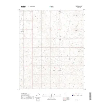
2021 Map of Austin Peak
USGS Topo · Published 2021About this map
Austin Peak rises as the central landmark of this high-desert landscape in Mohave County, marking a high point within the Aquarius Mountains. The terrain is defined by a series of significant drainage systems, including Cedar Basin Canyon and Dripping Springs Canyon, which cut through the elevated plateau. A network of springs provides rare water sources across this arid region, from the aptly named Blue Mud Spring and Sheepcamp Spring to Schoolhouse Spring on the eastern slopes of the peak. Historically, these locations often served as critical points for cattle ranching and early travelers through the basin. Local access is traced by a series of primitive routes like Bull Springs Rd and Squaw Springs Rd, which navigate the complex topography between Snow Mtn and the numerous named canyons like Divide Canyon.
Find a feature on this map
36 named features on this map. Tap any name to fly to it.
Don’t see what you’re looking for? This feature index may not catch every label — zoom into the map to look around manually.
Map Details
Editions of this 2021 Austin Peak Map
This is the sole edition of this map. No revisions or reprints were ever made.
Other maps of this area

1886 · Diamond Creek
USGS Topo · 1:250,000

1892 · Diamond Creek
USGS Topo · 1:250,000

1923 · Signal
USGS Topo · 1:250,000

1942 · Signal
USGS Topo · 1:250,000

1948 · Williams
USGS Topo · 1:250,000

1950 · Prescott
USGS Topo · 1:250,000

1954 · Prescott
USGS Topo · 1:250,000

1954 · Williams
USGS Topo · 1:250,000

1956 · Williams
USGS Topo · 1:250,000

1958 · Prescott
USGS Topo · 1:250,000