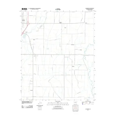
2011 Map of Auvergne
USGS Topo · Published 2011About this map
Newport and the surrounding agricultural lowlands of Jackson County are defined by a complex network of drainage ditches and slow-moving waterways. The landscape is structured by a grid of rural roads like Macedonia Rd and Jackson 145, supporting small settlements such as Johnstown, Remmel, and Auvergne. This 2011 survey reveals an environment where the natural flow of the Cache River and Village Creek has been heavily managed through engineering projects like the Cypress Creek Ditch and Locust Creek Ditch. For genealogists, the map is particularly valuable for its documentation of family and community burial sites, including the Leachville Cemetery, Wilkerson Cemetery, and Sand Hill Cemetery. The distribution of these landmarks, alongside named crossroads like Murphys Corner and Stegall, reflects the historical settlement patterns of the Arkansas Delta as they persisted into the early 21st century.
Find a feature on this map
67 named features on this map. Tap any name to fly to it.
Don’t see what you’re looking for? This feature index may not catch every label — zoom into the map to look around manually.
Map Details
Editions of this 2011 Auvergne Map
This is the sole edition of this map. No revisions or reprints were ever made.
Other maps of this area

1935 · Newport
USGS Topo · 1:62,500

1935 · Augusta
USGS Topo · 1:62,500

1935 · Tuckerman
USGS Topo · 1:62,500

1940 · Tilton
USGS Topo · 1:62,500

1953 · Memphis
USGS Topo · 1:250,000

1956 · Memphis
USGS Topo · 1:250,000

1956 · Tilton
USGS Topo · 1:62,500

1957 · Augusta
USGS Topo · 1:62,500

1962 · Jacksonport
USGS Topo · 1:24,000

1962 · Newport
USGS Topo · 1:24,000