
1962 Map of Newport
USGS Topo · Published 1963About this map
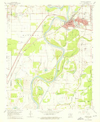
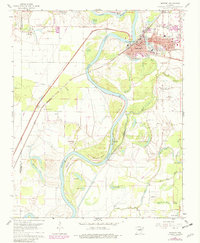
Newport serves as the focal point of this early 1960s survey, situated along a sharp bend in the White River. The city’s development is clearly defined by its street grid, including Front St and Walnut St, and its reliance on the Missouri Pacific railroad. The surrounding bottomlands are heavily defined by water, with numerous oxbows and sloughs like Eagle Lake, Vance Lake, and Bee Lake indicating the river's historical shifts. Educational and social infrastructure is well-documented, featuring schools such as Branch High Sch and Albright Sch, alongside the Harris Hospital and the Jackson County Courthouse.
Find a feature on this map
83 named features on this map. Tap any name to fly to it.
Don’t see what you’re looking for? This feature index may not catch every label — zoom into the map to look around manually.
Map Details
Editions of this 1962 Newport Map
3 editions found
Other maps of this area

1935 · Newport
USGS Topo · 1:62,500

1935 · Augusta
USGS Topo · 1:62,500

1935 · Tuckerman
USGS Topo · 1:62,500

1940 · Tilton
USGS Topo · 1:62,500

1953 · Memphis
USGS Topo · 1:250,000

1956 · Memphis
USGS Topo · 1:250,000

1956 · Tilton
USGS Topo · 1:62,500
1956 · Newark
USGS Topo · 1:24,000

1957 · Augusta
USGS Topo · 1:62,500

1962 · Jacksonport
USGS Topo · 1:24,000