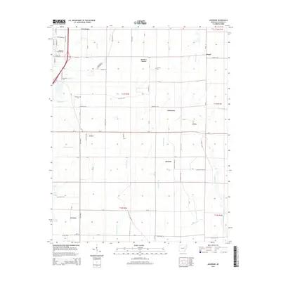
2014 Map of Auvergne
USGS Topo · Published 2014About this map
Auvergne and the surrounding Jackson County wetlands define this landscape just south of Newport. The terrain is shaped by a complex network of drainage ditches and slow-moving water, including the Cache River and Turkey Slough, which weave through agricultural tracts and small settlements. For those tracing family history, the map identifies several local burial grounds such as Johnstown Cemeteries, Sand Hill Cem, and Wilkerson Cem. This 2014 survey documents the enduring rural structure of the Arkansas Delta, where crossroads like Remmel, Johnstown, and Stegall serve as anchors for the farming community. The presence of the Haigwood Landing Strip near the western boundary and the managed flow of Locust Cr Ditch illustrate the modern intersection of aviation and water management in this alluvial plain.
Find a feature on this map
52 named features on this map. Tap any name to fly to it.
Don’t see what you’re looking for? This feature index may not catch every label — zoom into the map to look around manually.
Map Details
Editions of this 2014 Auvergne Map
This is the sole edition of this map. No revisions or reprints were ever made.
Other maps of this area

1935 · Newport
USGS Topo · 1:62,500

1935 · Augusta
USGS Topo · 1:62,500

1935 · Tuckerman
USGS Topo · 1:62,500

1940 · Tilton
USGS Topo · 1:62,500

1953 · Memphis
USGS Topo · 1:250,000

1956 · Memphis
USGS Topo · 1:250,000

1956 · Tilton
USGS Topo · 1:62,500

1957 · Augusta
USGS Topo · 1:62,500

1962 · Jacksonport
USGS Topo · 1:24,000

1962 · Newport
USGS Topo · 1:24,000