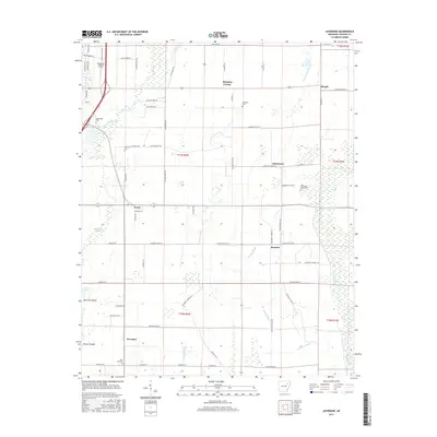
2017 Map of Auvergne
USGS Topo · Published 2017About this map
Auvergne and its surrounding rural hamlets are defined by an intricate network of drainage ditches and sloughs that traverse the lowlands of Jackson County. This 2017 survey shows a landscape heavily managed for agriculture, where the natural wandering of the Cache River is supplemented by man-made channels like Locust Cr Ditch and Cypress Cr Ditch. Small communities such as Johnstown, Remmel, and Erwin serve as nodes in a grid of section roads that provide access to the expansive fields.
Find a feature on this map
78 named features on this map. Tap any name to fly to it.
Don’t see what you’re looking for? This feature index may not catch every label — zoom into the map to look around manually.
Map Details
Editions of this 2017 Auvergne Map
This is the sole edition of this map. No revisions or reprints were ever made.
Other maps of this area

1935 · Newport
USGS Topo · 1:62,500

1935 · Augusta
USGS Topo · 1:62,500

1935 · Tuckerman
USGS Topo · 1:62,500

1940 · Tilton
USGS Topo · 1:62,500

1953 · Memphis
USGS Topo · 1:250,000

1956 · Memphis
USGS Topo · 1:250,000

1956 · Tilton
USGS Topo · 1:62,500

1957 · Augusta
USGS Topo · 1:62,500

1962 · Jacksonport
USGS Topo · 1:24,000

1962 · Newport
USGS Topo · 1:24,000