2024 Map of Auvergne
USGS Topo · Published 2024About this map
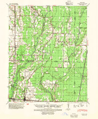
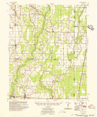
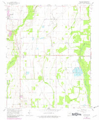
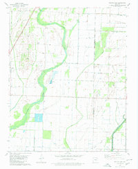
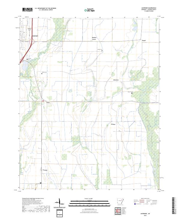
Auvergne and its surrounding Jackson County landscape are defined by the intricate hydrology of the Arkansas lowlands, where several sloughs wind through the agricultural terrain. Waterways like Mayberry Slough, Bee Tree Slough, and Pickett Slough dominate the western and central reaches, while the eastern edge is preserved within the Cache River National Wildlife Refuge. Small settlements and named crossroads such as Remmel, Erwin, and Johnstown anchor the local geography, connected by a network of rural roads that skirt larger municipal centers like Newport. For those tracing family histories, the map identifies several distinct burial sites including Sand Hill Cem, Lampkins Cem, and Wilkerson Cem, which remain as persistent landmarks in a region largely dedicated to the Farm Service Agency Interest of Arkansas.
Find a feature on this map
23 named features on this map. Tap any name to fly to it.
Don’t see what you’re looking for? This feature index may not catch every label — zoom into the map to look around manually.
Map Details
Editions of this 2024 Auvergne Map
This is the sole edition of this map. No revisions or reprints were ever made.
Historical Maps of Erwin Through Time
8 maps found